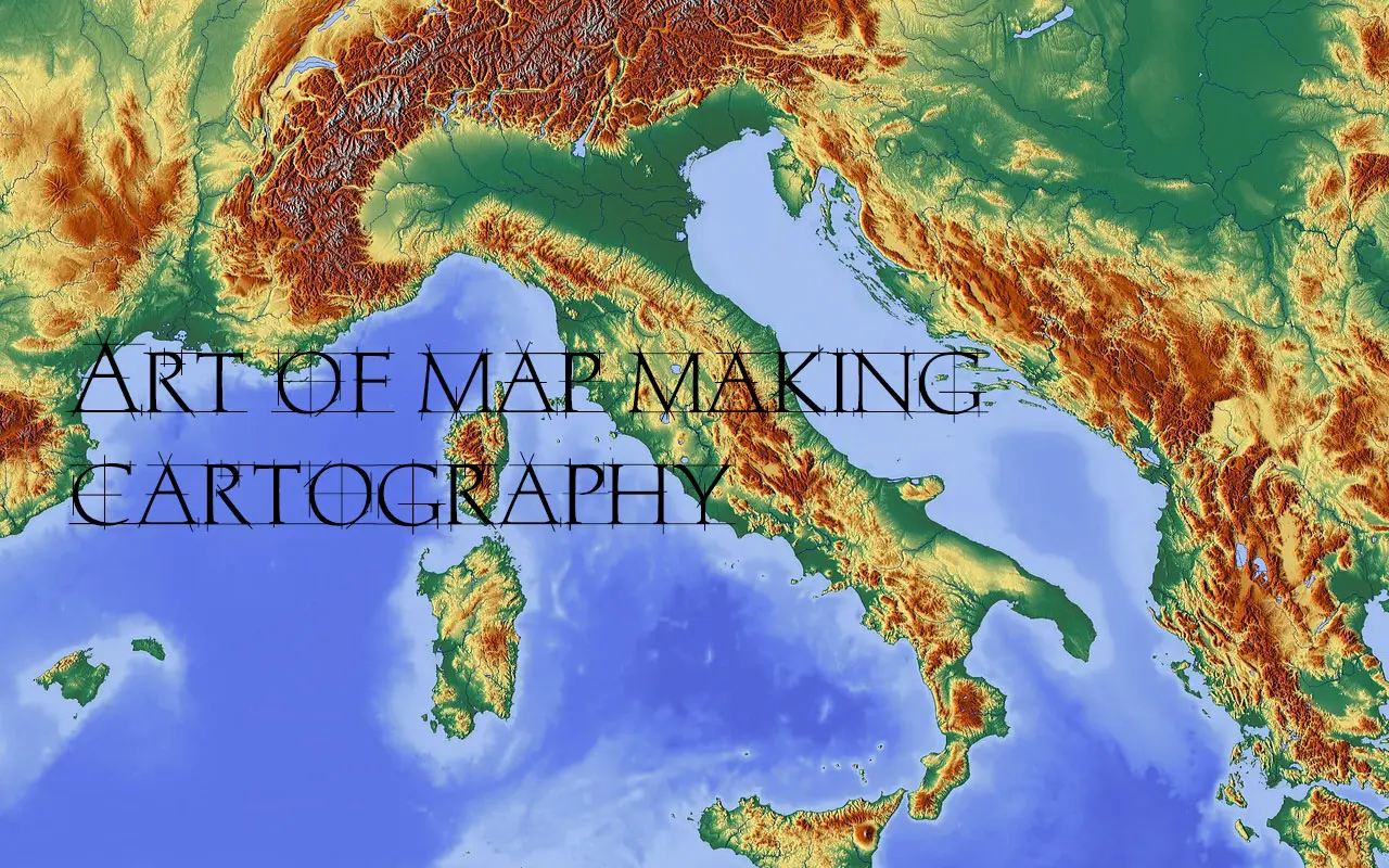
Maps make our lives infinitely easier. From finding our way around town to finding a store in a shopping mall, maps simplify the physical world. It’s not easy to make a map, however. There are countless measurements to be made, lines to be drawn, and all of it must be done with painstaking accuracy. It’s no wonder the practice of map-making is a complex one. Cartography is the practice of making maps as well as the study of maps.
Cartography is the science and art of creating maps and visual representations of geographical data. It encompasses the collection, analysis, and interpretation of spatial information to help us better understand and navigate our world.
History of Cartography
Cartography or map making has been an important part of the human history for thousands of years. Evidence of map making suggests that the map making evolved in many parts of the earth.
The history of cartography is a fascinating journey through time and space, spanning thousands of years and countless cultures. From ancient Babylonian clay tablets to modern satellite imagery, maps have always played a crucial role in our understanding of the world around us. In this article, we will delve into the rich history of cartography, exploring its development, innovations, and impact on human civilization.
Ancient Cartography
The history of cartography dates back to ancient civilizations. Early humans began creating maps to navigate their surroundings and communicate spatial information. Notable examples include the Babylonian world map, which dates back to the 6th century BCE, and the Greek philosopher Anaximander’s map of the known world.
The Age of Exploration
During the Age of Exploration, cartography played a critical role in expanding our understanding of the world. Explorers like Christopher Columbus and Ferdinand Magellan relied on maps to navigate their journeys, while cartographers like Gerardus Mercator developed groundbreaking map projections that revolutionized the field.
Modern Cartography
With the advent of computers and satellite technology, cartography has evolved into a highly sophisticated discipline. Digital mapping and geographic information systems (GIS) have become indispensable tools for modern cartographers, allowing them to create detailed, interactive maps with a level of accuracy never before possible.
What is Cartography In Geography?
Cartography is the practice of making maps as well as the study of maps. Cartographers generally either study the history of map making or use tools and techniques to make new maps. Many take on both roles. It’s common for cartographers to have a broad knowledge base of both mapmaking history and the latest techniques.
The Modern cartography largely involves the use of aerial and satellite photographs as a base for any desired map.
Modern cartography harnesses cutting-edge technology and digital tools to create and analyze maps with greater accuracy and efficiency. It incorporates Geographic Information Systems (GIS), satellite imagery, and computer-based mapping techniques to visualize complex spatial data.
Four Processes Are Involved In Cartography:
Cartography is the art and science of map making, which involves four key processes:
- Data Collection: This process involves gathering information about the geographic area being mapped. This can include satellite imagery, aerial photography, topographic maps, and survey data. Once collected, this data is processed and organized into a format that can be used to create the map.
- Data Analysis: This process involves analyzing the geographic data to identify patterns and relationships. This can involve overlaying different layers of data to create a composite map or using statistical methods to analyze the data. The goal of data analysis is to gain a better understanding of the features and characteristics of the area being mapped.
- Design: This process involves making decisions about the layout, color, symbols, and text that will be used to convey the information on the map. The goal of design is to create a clear and easy-to-read map that effectively communicates the intended message to the audience.
- Production: This process involves creating the final product that will be distributed to the intended audience. This can involve printing the map on paper, creating a digital file for use on a website or mobile app, or creating an interactive map that allows the user to interact with the data in real-time.
In order to master these processes, a cartographer must be familiar with all mapping techniques including those associated with other mapping sciences like Geodesy, Surveying, Photogrammetry, Remote Sensing and other GIS techniques.
The Basics of Cartography
Once you understand the key elements and principles of cartography, you’ll be itching to grab a pen or fire up your GIS software to craft your very own map. So, let’s dive in and explore the foundation of cartography!
1. Map Elements
Maps consist of several essential elements, such as the title, legend, scale, and compass rose. These elements help convey the purpose of the map and provide context for the viewer. Understanding the role of each element is crucial when creating a map.
2. Coordinate Systems
Coordinate systems, like latitude and longitude, provide a way to locate specific points on the Earth’s surface. Understanding coordinate systems is vital for accurate mapmaking and spatial analysis.
3. Map Projections
Map projections are mathematical formulas used to represent the three-dimensional Earth on a two-dimensional surface. There are various map projections, each with its advantages and distortions. Selecting the right projection is essential for accurate mapmaking.
Different Cartography Techniques
In depicting information on maps, distinctive cartographic techniques are utilized in different maps. The use of any one method for every kind of maps is not possible.
Following are some of the techniques utilized as a part of the readiness of different sorts of maps:
- Isopleth method
- Choropleth method (shading method)
- Choroschematic method (symbol method)
- Chorochromatic method (color or tint method)
- Dot method
- Diagrammatic method
ISOPLETH METHOD:
Data are represented on some maps by lines each of which is inconsistent esteem. Accordingly, a line which joins places of equivalent value in regard to some distribution is generally called as ISOPLETH. It is a combination of Greek words ISOS-(means same) and Plethron-(means measure). Thus a line on a map joining points having the same amount of rainfall is an isopleth and is called as ISOHYET.
Similarly, an isopleth connecting places of equal temperature is called an Isotherm, Isobars for equal pressure, Isobath for equal depth, Isohaline for equal salinity etc.
Isopleth is drawn at a selected and constant interval and the value of each isopleth is written at the end of the line. Isopleth never intersects or join each other. Selection of interval of Isopleth is carefully done. Number of Isopleth should neither nor too small.
Isopleth is drawn one by one taking care that an Isopleth runs through the stations representing the quantities of the same value or is interpolated proportionately between them.
The spaces between the consecutive Isopleth are shaded to show the varying values. The shade becomes darker as the value increases. It may be noted that the shades here do not stand for density per unit area and should not be thus confused with Choropleths.
The Isopleth, when drawn close together, indicate a sharp change in the values and when drawn wider apart, they show a gentle change.
CHOROPLETH METHOD:
Choropleth method or technique is employed to represent the variations in the distribution of average value per unit area within the geographical or administrative divisions by applying various cartographic shades.
It is a system of depicting the variations with the assistance of various shades or outlines which demonstrate very low, low, medium, high and very high estimations of the distribution of data. It is used to show various demographic features like the density of population, age-structure, sex-ratio, literacy levels etc.
Various aspects of agriculture like land use categories, the proportion of area under different crops, cropping intensity etc. The variation in density from one administrative division to other is represented by various cartographic shades. Low densities are shown by light shades and high densities by darker shades. The contrast between various shades should be clearly discernible but not abrupt.
CHOROSCHEMATIC METHOD:
In the CHOROSCHEMATIC technique, the geographical phenomenon like soil, land use, vegetation etc. are depicted by various cartographic symbols like dots, circles, triangles, initial letters of the elements to represent on the map. This method mostly stresses on the location rather than the characteristics of the phenomenon. Neither the shape nor the color of the symbol used represents the dimension of the object. The main advantage of this method is that many elements may be shown together on a single map.
READ MORE: What Is Choroschematic Map
CHOROCHROMATIC METHOD:
In this method, different features of the earth like mountains, plateaus, plains, water bodies, natural vegetation etc. are shown on a map by a combination of various colors or by different shades of one color (layer tints). For example, in a vegetation map, forests may be shown by green, grasslands by yellow and desert vegetation by yellow color.
Read More: The Chorochromatic Map: A Colorful Way To Understand The World
DOT METHOD:
It is a map type that uses a dot symbol to represent the presence of a feature and each dot on a map represent some amount of data. Dot maps rely on a visual scatter to show a spatial pattern, In the dot density map, areas with many or cluster of dots represent high concentrations.
DIAGRAMMATIC METHOD:
It is the method of representation of any event distribution by means of diagrams, that are placed on the map inside of the structure of territorial division (more often administrative) and that express the summarized value of this event within the limits of this territorial structure.
Diagram maps are used for visual comparison of plough-lands, pastures, forest lands, etc. Since most part of the statistical information is operated by districts, regions, areas or other territorial units and not by single settlement, this method of representation is widely used in the modern cartography.
Cartography Tools and Software
With the right tools and software, you can create maps that captivate and inform viewers. So let’s delve into the world of cartography tools and software, and discover how they can help you unleash your mapmaking potential!
#1. Traditional Tools
Traditional cartography tools include drafting equipment like compasses, rulers, and protractors, as well as artistic tools like pencils, pens, and brushes. While digital tools have become more prevalent, these traditional tools still have a place in the cartographer’s toolkit, especially for hand-drawn maps and artistic projects.
#2. GIS and Digital Mapping
Geographic Information Systems (GIS) and digital mapping software have transformed the field of cartography. Programs like ArcGIS, QGIS, and Adobe Illustrator enable cartographers to create highly detailed, accurate maps with ease. Learning these tools is essential for any aspiring cartographer in the digital age.
What Is A Cartographer?
A cartographer is a professional who specializes in creating maps. They use a combination of science, technology, and artistry to gather and analyze geographic data and then design and produce accurate and effective maps. Cartographers may work in a variety of industries, including government, education, and technology.
Cartographers must be sensitive to the mapping needs of diverse fields. The mapping adequacy is best accomplished by treating the making and utilizing of maps similarly.
The task of map designer is to enhance the map user’s ability to retrieve the information. The great power of mapping process lies in its ability to provide fresh and insightful perspective on the man-environment relationship.
In short a cartographer must be well versed in diverse fields of knowledge in order to make his drawing meaningful, observable and attractive because he has to depict the maximum of information on the minimum of space and therefore should also be well versed in conventional signs (cartographic symbols).
What Skills Do Cartographers Require?
- An interest in geography and the environment.
- A keen eye for detail as much of the work involves careful research and the collection and manipulation of data.
- Good spatial awareness and color vision, knowledge of layout design.
- IT literacy.
- Analytical ability and problem-solving skills.
- The ability to interpret data, graphical representations and symbols.
Conclusion
Cartography has been and will continue to be a fundamental part of human civilization. From navigation to climate change analysis, cartography plays a vital role in shaping our world and our understanding of it. As technology continues to advance, we can only expect cartography to become even more essential and influential in the years to come.
FAQs: Cartography – The Art Of Map Making
What is cartography, and why is it important?
Cartography is the science of creating and analyzing maps. It is important because it helps us navigate, make informed decisions, manage resources, and understand our world.
How does cartography contribute to environmental protection?
Cartography helps identify areas of environmental concern and supports efforts to restore and protect ecosystems by providing valuable spatial data for monitoring and analysis.
What are some of the advancements in cartographic technology?
Some advancements in cartographic technology include Geographic Information Systems (GIS), satellite imagery, and digital mapping tools, which have revolutionized the way we create, analyze, and use maps.
What is the difference between cartography and GIS?
Cartography is the art and science of creating maps, while GIS (Geographic Information Systems) is a technology for managing, analyzing, and displaying spatial data. Cartography is a fundamental aspect of GIS, but GIS encompasses a broader range of tools and techniques.
