In this article, I will be discussing How Does Photogrammetry works in today’s technology world and the future of this technology.
The use of photogrammetry and 3D modelling has been growing as a result of their efficiency and versatility in generating high-quality, accurate results. Today, photogrammetry is used in a variety of fields like anthropology, archaeology, geology, landscape architecture, civil engineering, surveying and mapping. Let’s start with the photogrammetry basics.
What is Photogrammetry?
Photogrammetry is a type of photography that is used to create 3D objects or environments from photographs. In this process, a light source is usually used to project an image on a surface in order to create an accurate representation of the object.
Photogrammetry has existed for quite some time, but the technology has been adopted in the last decade due to recent advancements in digital cameras and software.
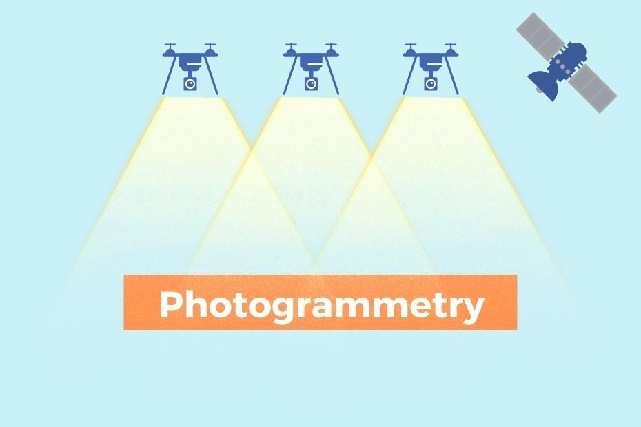
In photogrammetry, one typically uses multiple photos taken from different angles in order to generate a detailed 3D model of an object or environment. As these photos are traced by grid coordinates on the model, they allow for more accuracy and detail than traditional methods such as using cameras or laser scanners to map out an object’s shape.
History of Photogrammetry?
Photogrammetry was first invented in the 1800s. Photogrammetry is the science of making three-dimensional maps based on photographs, which is a modern version of the ancient technique of using drawings to create maps.
The first applications of photogrammetry were indeed maps: In 1840 a French surveyor named Dominique François Jean Arago used some photographs to create a topographic map.
Development Cycle of Photogrammetry
Photogrammetry has done four cycles from the year 1850, each lasting about fifty years. These cycles include:
Plane Table Photogrammetry: Plane table photogrammetry started from the year 1850 to 1900. Images are taken and then the user drew the perspective lines.
Analog Photogrammetry: Started from the year 1900 to 1960. Optical or mechanical instruments are used to create 3D objects.
Analytical Photogrammetry: from about 1960 to till present. Mathematical methods are used for measurement by using photographs.
Digital Photogrammetry: Digital Photogrammetry just beginning at present. Digital Photogrammetry is a technology that uses sensors or cameras to capture 3D point clouds and convert them into geometrically accurate digital models.
How Does Photogrammetry Works?
Photogrammetry is a technology that uses light detection to capture digital images of real-world objects. This technique can be used for 3D scanning, which captures the shapes and geometry of an object.
There are also ways to use photogrammetric techniques to digitize natural objects such as plants, rocks, or even animals.
In order to visualize the surface of an object with photogrammetry, it must be lit up with special lighting equipment that sends out light beams in specific patterns.
What Is Needed For Photogrammetry?
This process involves capturing images of a subject, such as a building or landscape, to create three-dimensional models.
First of all, you need an object and it can be anything from a building to a landscape.
The next thing you need, is a digital camera, tripod, computer and Photogrammetry Software.
You can use a DSLR Camera for good quality or a smartphone camera can also be used with correct exposure and no motion blur.
After taking a lot of images you need to convert these images into a 3D model, thus you need Photogrammetry Software.
What Is The Importance of Photogrammetry?
Photogrammetry is an important technology in the field of computer graphics. It is the direct use of photography to create 3D models.
There are many benefits to using photogrammetry to create 3D models, including building better and more realistic products and creating more accurate 3D game characters.
The most significant benefit, however, is that it allows for a much faster turnaround of work than other methods such as digital modelling or traditional sculpting techniques.
Types of Photogrammetry?
It is a special type of computer graphics for producing three-dimensional digital models of objects based on images taken from different angles.
There Are Two Types of Photogrammetry:
- Aerial Photogrammetry
- Terrestrial and Close-range Photogrammetry
Aerial Photogrammetry
Aerial Photogrammetry is a type of Photogrammetry that uses digital cameras to capture images from a high-altitude perspective. A complete high-resolution image is generated by integrating many individual photos taken during the flight.
With its ability to gather data quickly from a very high altitude, it can provide a wealth of information about environments that are otherwise inaccessible.
Aerial photography has gained a lot of popularity over the past decade. With the advancement in technology, aerial photographers can now take their photos from a drone or an aeroplane.
Terrestrial and Close-Range Photogrammetry
In Terrestrial and Close-Range Photogrammetry, the camera is located on the ground itself. It typically produces a non-topographic and artistic product such as drawings, 3D Models and measurements.
An everyday camera can be used to measure buildings, structures and scenes, etc. This type of photogrammetry is called as Image-Based Modeling.
Conclusion: How Photogrammetry Works
As digital data becomes the most common form of content, the need for accurate and quick generation of digital data has become significant. One such technology that can be used to generate and capture digital data is photogrammetry.
The Takeaways Are:
Photogrammetry is used for creating 3D models by taking photographs and then processing them into 3D models using computer software. The process involves measuring one or more points on an object by using photographs taken from different angles to create a 3D model with as much detail as possible.
