Geography is a fascinating field that involves the study of the Earth’s physical features, climate patterns, and human activities. Geographers rely on a variety of tools to collect, analyze, and interpret spatial data. In this article, we will explore: What Tools Do Geographers Use and how they contribute to our understanding of the world.
Geographers use various tools including Geographic Information Systems (GIS), remote sensing technologies like satellite imagery, aerial photographs, GPS devices, compasses, and surveying equipment. These tools enable them to analyze, interpret, and visualize geographic information effectively.
What Tools Do Geographers Use?
Geography is not only about studying various locations on Earth, but it’s also about understanding the relationship between people and their environment.
It’s an extensive field that covers a lot, from the arrangement of continents to the impact of climate change on human societies. To effectively study these elements, geographers use a variety of tools.
1. Maps and Globes
Maps and globes are foundational tools in the field of geography. They provide a visual representation of the earth’s surface, helping geographers to interpret and understand spatial patterns and relationships. As geographical instruments, maps offer a detailed view of specific locations, showcasing physical features like rivers, mountains, and forests, as well as human-made structures like cities and roads.
Conversely, globes provide a more comprehensive view of the world, illustrating the spherical shape of the earth, and presenting a true picture of the size and position of continents and oceans. They are especially useful for understanding global phenomena.
An in-depth exploration on the importance of maps for geographers.
2. Map Projections
The earth is a three-dimensional object, and map projections are used to depict it on a two-dimensional surface, such as a piece of paper or a computer screen. This process inevitably introduces some degree of distortion. Map projections come in many different types, each with their unique attributes and uses.
Some map projections preserve areas, some maintain accurate shapes, while others ensure accurate distances or directions. The choice of projection is therefore highly dependent on the task at hand, as it can significantly affect the interpretation of geographical data.
3. Cartography
Cartography is the art and science of map-making, another key tool for geographers. It involves the gathering, processing, and representation of geographical data, ultimately producing detailed and informative maps. With the rise of digital technology, modern cartography has extended beyond traditional hand-drawn maps to include sophisticated computer-generated maps that can be interactively explored.
Cartographers play a vital role in geography, presenting complex geographical data in a form that is easily understandable. They need a deep understanding of spatial data and design principles, as well as expertise in the use of cartographic tools.
4. Geographic Information System (GIS)
Geographic Information System (GIS) is a powerful tool that allows geographers to analyze and interpret spatial data. It’s a computer-based system that can capture, store, manipulate, and display geographical information. By using GIS, geographers can visualize data in several ways, making patterns, trends, and relationships more apparent.
GIS provides a means to integrate different kinds of data, overlay maps, and carry out complex spatial analyses. Its applications span various fields, from urban planning and environmental management to transport and logistics.
5. Global Positioning System (GPS)
GPS is a satellite-based navigation system that provides location and time information in all weather conditions, anywhere on or near the earth. For geographers, GPS is an invaluable tool, allowing them to collect precise location data quickly and efficiently.
GPS helps geographers gather the accurate, real-time data they need to better understand our world. Geographers use GPS devices to track the movement of people, animals, and vehicles, as well as to map out geographic features accurately.
6. Satellite Imagery
Satellite imagery offers a bird’s eye view of the Earth’s surface, providing geographers with a wealth of information about our planet. Satellite imagery is essential for studying large-scale phenomena such as weather patterns, vegetation cover, urban growth, and changes in land use.
By analyzing this imagery, geographers can identify patterns and trends, monitor changes over time, and make predictions about future developments. This makes satellite imagery an indispensable tool for geographers.
7. Spatial Database
A spatial database is a database that is optimized to store and query data that represents objects defined in a geometric space. In geography, spatial databases are used to store and manage vast amounts of data, such as the coordinates of physical features or the boundaries of political regions.
Spatial databases allow geographers to conduct complex spatial queries, such as finding all the locations within a certain distance of a point, or determining whether a point lies within a specified area.
8. Surveying Equipment
Surveying equipment is another crucial tool used by geographers. These tools, including total stations, theodolites, and GPS units, are used to accurately measure terrestrial or three-dimensional positions of points and the distances and angles between them. This data is used to create detailed and precise maps and land surveys.
Surveying equipment enables geographers to gather accurate data on the physical features of the earth, which can then be used in a wide variety of applications, including urban planning, construction, and environmental management.
9. Field Notebooks
Field notebooks are indispensable tools for geographers working in the field. These notebooks allow geographers to record observations, measurements, and sketches during their research.
Field notebooks help geographers document their findings accurately and serve as a reference for further analysis.
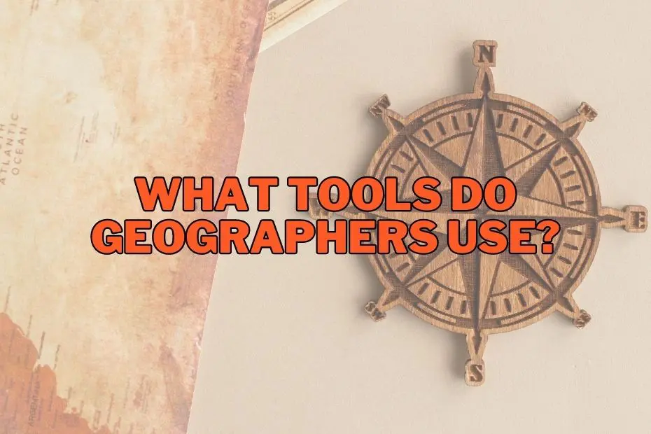
10. Compass
A compass is a simple yet essential tool for geographers. It helps determine direction and navigate across landscapes. Geographers often use compasses in the field to orient themselves and measure angles accurately. This tool is particularly useful when conducting surveys or creating maps.
In addition to traditional magnetic compasses, modern geographers may also use digital or electronic compasses that incorporate sensors and technology to provide precise readings of direction and sometimes even additional information such as altitude, temperature, and GPS coordinates. These advancements have further enhanced the accuracy and versatility of compasses as indispensable tools for geographers.
11. Weather Instruments
Understanding weather patterns is vital for many geographers. Weather instruments, including thermometers, barometers, and anemometers, are used to collect meteorological data. Geographers use this data to analyze climate patterns, study weather phenomena, and predict changes in the environment.
Weather instruments help geographers gather accurate and reliable data, contributing to the field of meteorology and improving our understanding of weather patterns and climate dynamics.
12. Drones
Drones have become increasingly popular tools in geography. They offer a unique perspective and allow geographers to collect aerial data efficiently. Drones are equipped with cameras and sensors that capture high-resolution images and other valuable information. Geographers use drones to map landscapes, monitor changes, and conduct surveys in hard-to-reach areas.
By using drones, geographers can create detailed and accurate maps, including orthophotos and digital elevation models (DEMs). These maps are crucial for understanding landscape patterns, land-use planning, and natural resource management. Drones also assist in assessing environmental conditions, such as monitoring pollution levels, identifying vegetation health, or detecting changes in water bodies.
13. Laser Scanners
Laser scanners, also known as LiDAR (Light Detection and Ranging) systems, are used to measure distances and create detailed 3D representations of landscapes. Geographers use laser scanners to capture precise elevation data, study landforms, and assess changes in terrain over time.
Moreover, laser scanners play a vital role in geospatial mapping and surveying. They enable the creation of highly detailed and precise maps, which are valuable for urban planning, land management, and environmental monitoring. The ability to capture data quickly and accurately makes laser scanners a preferred tool for geographers working in fields such as cartography, remote sensing, geomorphology, and natural resource management.
Conclusion: What Tools Do Geographers Use?
From maps and compasses to sophisticated software programs, the tools used by geographers are as diverse as the field itself. They serve as the backbone for understanding the complex interactions of the physical and human world. With the advancements in technology, geographical tools continue to evolve, offering new opportunities and challenges for geographers and for anyone with an interest in understanding our world.
FAQs: What Tools Do Geographers Use?
What are some traditional tools used in geography?
Traditional tools include maps, globes, compasses, and atlases.
Why are tools like GIS important in geography?
GIS is crucial in geography because it allows for the collection and analysis of spatial data. It enables geographers to visualize and understand patterns and relationships in a way that wasn’t possible before.
What are some examples of software tools used in geography?
Some examples of software tools include GIS software, remote sensing software, and statistical analysis software.
How do geographers use aerial photography?
Geographers use aerial photography to study landscapes, analyze landforms, and identify land use patterns. It provides a unique perspective that helps geographers gain a broader understanding of the geographic features they are studying.
