
Remote sensing software has been a game-changer in the world of geospatial data analysis. These powerful tools allow professionals to analyze and interpret data collected from satellite, aerial, or ground-based sensors. With the increasing availability of data, remote sensing software has become essential for many industries, including environmental monitoring, urban planning, agriculture, and more.
In this article, we will discuss the 15+ best remote sensing software available on the market, their features, and how they can benefit you.
The best remote sensing software depends on your specific needs and the type of data you will be analyzing. However, some of the most popular and widely used remote sensing software include ENVI, ERDAS Imagine, and ArcGIS Pro.
Best Remote Sensing Software Packages
There are various types of remote sensing software available in the market. Each software has its own unique features and functionalities, making it suitable for specific applications. Some of the most popular remote sensing software are:
1. ENVI
ENVI is an image analysis software developed by Harris Geospatial. It has the capability to process multispectral and hyperspectral imagery, and it offers a wide range of analysis tools, including spectral analysis, image classification, and change detection. With ENVI, users can extract features, create maps, and produce reports.
The software also provides advanced image classification and feature extraction tools, as well as the ability to create 3D visualizations. ENVI offers a user-friendly interface, making it easy for users to process and analyze remote sensing data.
ENVI is used for various applications, such as crop monitoring, land-use mapping, and environmental monitoring. It is also widely used in the defense and intelligence industries for target identification and change detection.
2. ERDAS Imagine
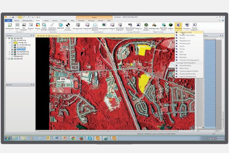
ERDAS Imagine is an image processing and analysis software developed by Hexagon Geospatial. It has a wide range of capabilities, including remote sensing, photogrammetry, and GIS. ERDAS Imagine provides a comprehensive set of tools for processing and analyzing satellite and aerial imagery. It is widely used in fields such as agriculture, forestry, and geology.
ERDAS Imagine offers a wide range of features, including image processing and analysis, photogrammetry, and spatial modeling.
ERDAS Imagine is used for various applications, such as land-use mapping, forestry management, and disaster response. It is also widely used in the defense and intelligence industries for target identification and surveillance.
3. PCI Geomatica
PCI Geomatica is a remote sensing software developed by PCI Geomatics. It is designed to handle a wide range of geospatial data, including satellite and aerial imagery. PCI Geomatica provides tools for image processing, analysis, and visualization.
PCI Geomatica’s features include advanced image analysis tools, batch processing, support for a wide range of file formats, and integration with other software such as ArcGIS and Google Earth.
PCI Geomatica is used for various applications, such as land-use mapping, natural resource management, and disaster response. It is also widely used in the defense and intelligence industries for target identification and surveillance.
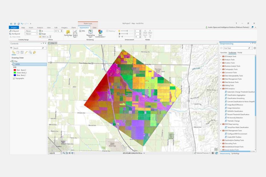
4. ArcGIS Pro
ArcGIS Pro is a GIS software developed by ESRI. It provides a comprehensive set of tools for managing, analyzing, and visualizing spatial data. ArcGIS Pro offers advanced analysis capabilities, including geoprocessing, spatial modeling, and data visualization. It is widely used in fields such as natural resource management, urban planning, and emergency response.
ArcGIS Pro’s features include advanced image analysis tools, batch processing, support for a wide range of file formats.
With ArcGIS Pro, you can analyze remote sensing data for a wide range of applications such as urban planning, agriculture, and disaster management.
5. QGIS 3
QGIS 3 is an open-source GIS software developed by a QGIS Development Team. QGIS 3 offers a wide range of analysis capabilities, including spatial data processing, spatial analysis, and data visualization.
QGIS 3’s features include advanced image analysis tools, support for a wide range of file formats, and integration with other software such as GRASS GIS and Whitebox GAT.
QGIS 3 is used for various applications, such as land-use mapping, environmental monitoring, and disaster response.
6. GRASS GIS
GRASS GIS (Geographic Resources Analysis Support System) is an open-source GIS software developed by a community of developers. GRASS GIS offers a wide range of analysis capabilities, including raster and vector data processing, spatial analysis, and data visualization.
GRASS GIS offers a wide range of features, including data management, spatial analysis, and mapping. The software provides advanced analysis tools, such as spatial modeling and geoprocessing. GRASS GIS’s features include advanced image analysis tools, support for a wide range of file formats, and integration with other software such as QGIS.
GRASS GIS is used for various applications, such as land-use mapping, natural resource management, and disaster response.
READ MORE: GRASS GIS – Geographic Resources Analysis Support System
7. Trimble eCognition
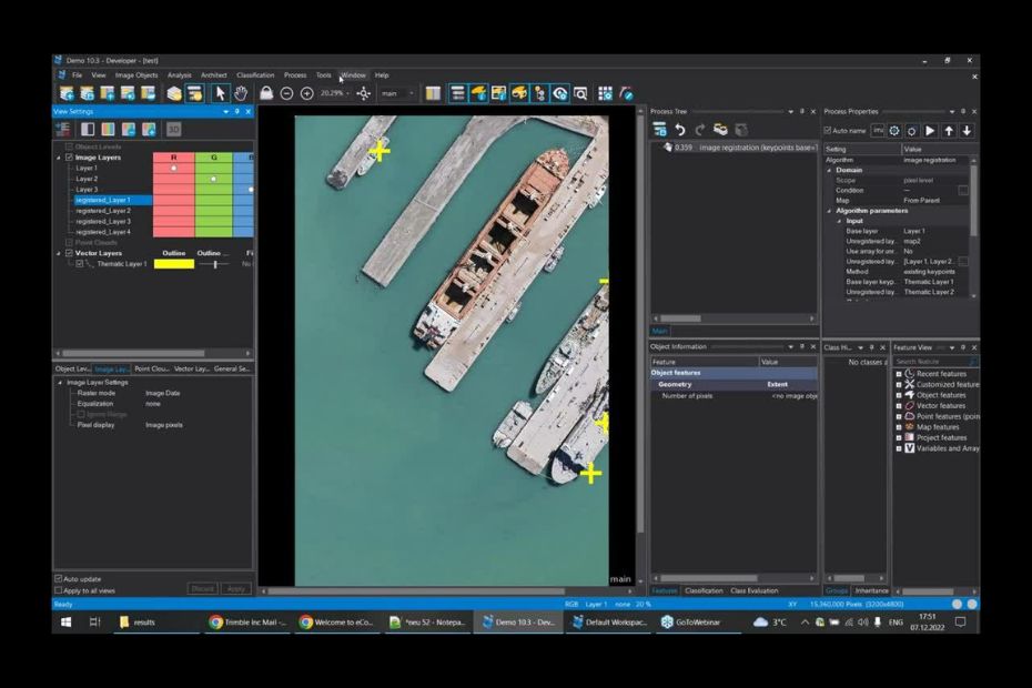
Trimble eCognition is a software developed by Trimble Inc. It is designed to handle various types of geospatial data, including satellite and aerial imagery. Trimble eCognition provides tools for image processing, object-based image analysis, and machine learning.
Trimble eCognition offers a wide range of features, including image processing and analysis, feature extraction, and change detection. Trimble eCognition also offers a user-friendly interface, making it easy for users to process and analyze remote sensing data.
Trimble eCognition is used for various applications, such as land-use mapping, natural resource management, and disaster response.
8. Whitebox GAT
Whitebox GAT (Geospatial Analysis Toolbox) is an open-source GIS software developed by Dr. John Lindsay. It provides a comprehensive set of tools for processing and analyzing spatial data, including raster and vector data processing, hydrological analysis, and terrain analysis.
The software provides advanced tools for terrain analysis, hydrological modeling, and spatial analysis.
Whitebox GAT is used for various applications, such as land-use mapping, natural resource management, and environmental monitoring.
9. SAGA GIS
SAGA GIS (System for Automated Geoscientific Analyses) is an open-source GIS software developed by a community of developers. It provides a comprehensive set of tools for processing and analyzing spatial data, including raster and vector data processing, terrain analysis, and spatial modeling. SAGA GIS is widely used in fields such as environmental monitoring, natural resource management, and geology.
SAGA GIS offers a wide range of features, including data management, spatial analysis, and mapping. The software provides advanced tools for terrain analysis, hydrological modeling, and spatial analysis.
SAGA GIS can be used in land-use mapping, natural resource management, and disaster response.
10. PolSARPro
PolSARPro is a software developed by the European Space Agency (ESA). It provides advanced analysis capabilities for polarimetric synthetic aperture radar (PolSAR) data, including image segmentation, classification, and feature extraction.
PolSARPro offers a wide range of features, including data processing and analysis, polarimetric decomposition, and interferometric analysis.
PolSARPro is used for various applications, such as land-use mapping, natural resource management, and environmental monitoring.
11. ILWIS
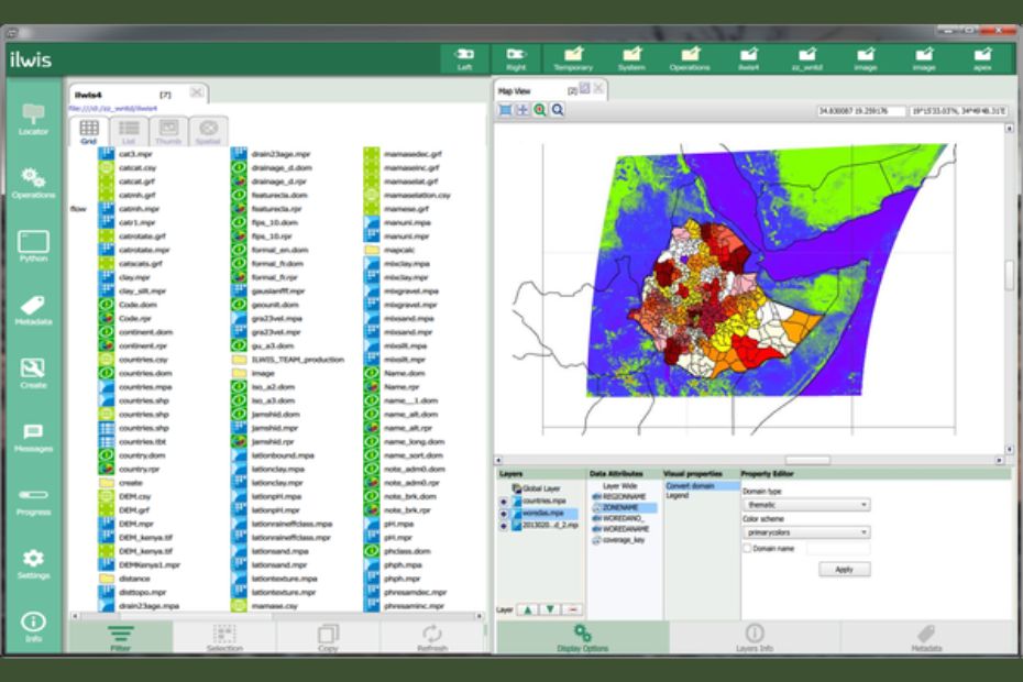
ILWIS is an open-source GIS and remote sensing software developed by the International Institute for Geo-Information Science and Earth Observation (ITC). It provides a comprehensive set of tools for managing, analyzing, and visualizing spatial data, including raster and vector data processing, image classification, and spatial modeling.
ILWIS offers a wide range of features, including spatial analysis, data management, and mapping. The software provides advanced tools for image classification, feature extraction, and spatial modeling.
With ILWIS, you can analyze remote sensing data for a wide range of applications such as land use classification, hydrology modeling, and natural resource management.
12. Orfeo Toolbox (Open Source)
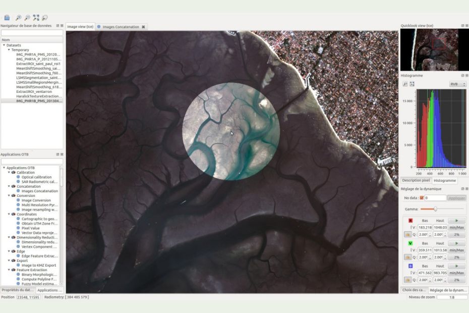
Orfeo Toolbox is an open-source software developed by the French National Space Agency (CNES). It provides advanced image analysis capabilities, including image segmentation, classification, and feature extraction.
Orfeo Toolbox offers image processing and analysis, feature extraction, and data visualization. The software provides advanced tools for image classification and feature extraction.
Orfeo Toolbox is used for land-use mapping, natural resource management, and disaster response.
13. Global Mapper
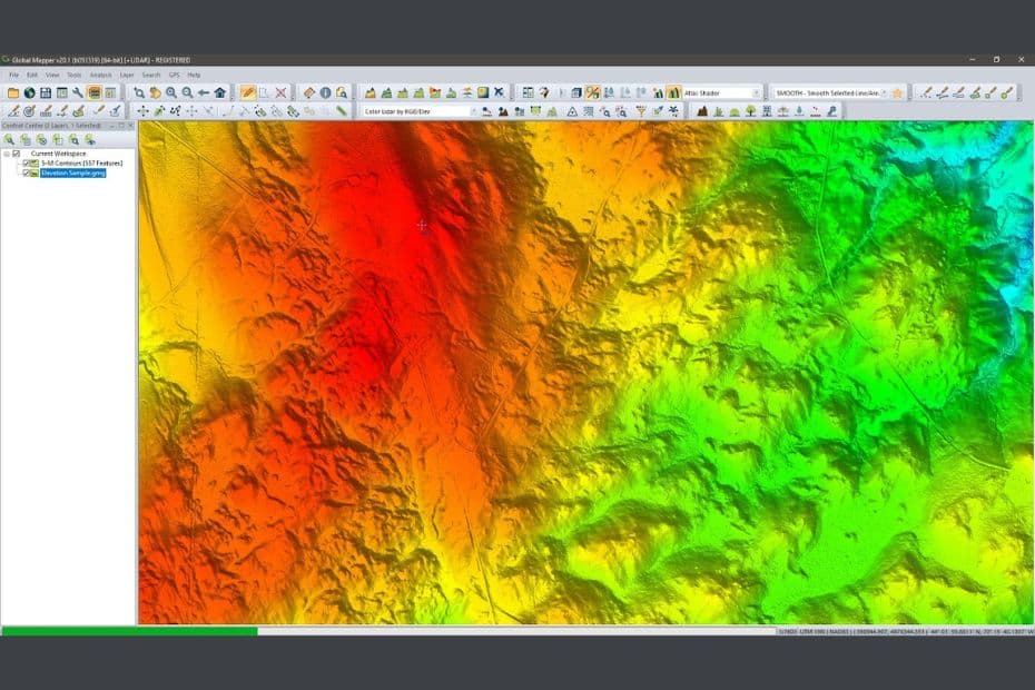
Global Mapper is a remote sensing software developed by Blue Marble Geographics. It is designed to handle various types of geospatial data, including satellite and aerial imagery. Global Mapper provides tools for image processing, analysis, and visualization.
Global Mapper’s features include advanced image analysis tools, support for a wide range of file formats, and integration with other software such as Google Earth.
With Global Mapper, you can analyze remote sensing data for a wide range of applications such as urban planning, disaster management, and environmental monitoring.
14. Feature Manipulation Engine (FME)
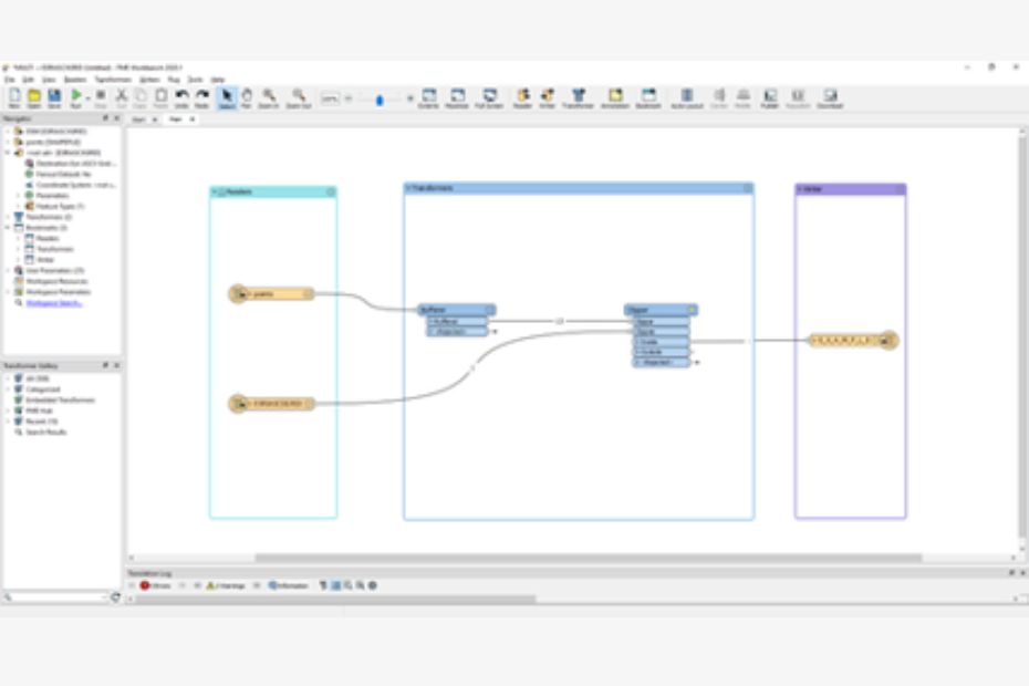
Feature Manipulation Engine (FME) is a software developed by Safe Software. It provides a comprehensive set of tools for processing and analyzing spatial data, including data conversion, spatial data integration, and data validation.
FME offers advanced tools for data conversion and spatial data integration.
FME is used for various applications, such as land-use mapping, environmental monitoring, and disaster response.
15. gvSIG
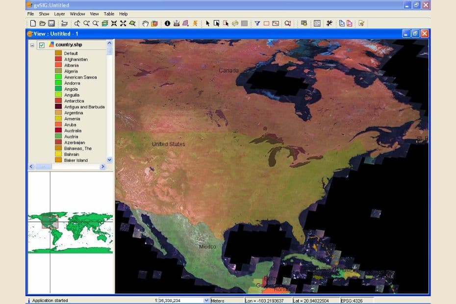
gvSIG is an open-source GIS software developed by a community of developers. It provides a comprehensive set of tools for managing, analyzing, and visualizing spatial data, including raster and vector data processing, spatial analysis, and data visualization.
gvSIG software provides advanced tools for spatial analysis and data visualization. gvSIG also offers a user-friendly interface, making it easy for users to manage and analyze spatial data.
gvSIG is used for various applications, such as land-use mapping, environmental monitoring, and disaster response.
16. TNTmips
TNTmips is a GIS software developed by MicroImages. It provides a comprehensive set of tools for managing, analyzing, and visualizing spatial data, including raster and vector data processing, spatial analysis, and data visualization.
TNTmips’s features include advanced image analysis tools, support for a wide range of file formats.
TNTmips is used for various applications, such as land-use mapping, environmental monitoring, and disaster response.
Conclusion:
In conclusion, remote sensing software has revolutionized the way we collect and analyze geospatial data. With the increasing availability of data, it has become essential for professionals in various industries to have access to powerful remote sensing software. The above list of remote sensing software discussed in this article are among the best in the market, offering a comprehensive suite of tools for data processing, visualization, and analysis.
With remote sensing software, you can analyze remote sensing data for a wide range of applications such as land use classification, agriculture, and disaster management. These software provide opportunities to analyze data in a much better and efficient way, making it possible to understand the Earth’s dynamics and make better decisions for the planet’s sustainable future.
FAQs: 15+ List of Best Remote Sensing Software Packages
What is remote sensing software?
Remote sensing software is used to analyze and interpret data collected from satellite, aerial, or ground-based sensors.
What industries use remote sensing software?
Remote sensing software is used in various industries, including environmental monitoring, urban planning, agriculture, and more.
Is remote sensing software expensive?
The cost of remote sensing software varies depending on the software and the specific features needed. However, many software options offer free or low-cost versions for non-commercial use.
Can I use open-source remote sensing software?
Yes, there are several open-source remote sensing software such as QGIS, GRASS GIS, SAGA GIS, and Orfeo Toolbox that are free to use and offer a wide range of features.
What are the applications of remote sensing software?
Remote sensing software is used for a wide range of applications such as land use classification, agriculture, disaster management, environmental monitoring, and urban planning.
