
Satellite imagery has been crucial data in the GIS and remote sensing fields for years. Free satellite imagery services offer a variety of global views that can help in mapping, urban planning, and more.
Free satellite imagery is an ideal way to acquire high-resolution maps and other geospatial data for a particular location. These services regularly release new images which are updated every day (depends on the refresh rate). These images give us a chance to see changes in our environment in real-time.
In addition, they also provide insights into different types of activities that happen around a particular area.
The recent advancement in technology has made it possible for us to enjoy the benefits of satellite imagery services. Today, there are many companies that offer free high-resolution satellite imagery which can be used for GIS mapping projects at no cost.
11+ Free Satellite Imagery Services
Are you looking for satellite imagery providers for your mapping, GIS, and remote sensing needs?
Then our list of Free Satellite Imagery Services will make it easier for you to decide which one you should choose.
#1. USGS EarthExplorer
The USGS EarthExplorer is an online imagery platform (satellite, aerial, UAV) that allows users to view satellite imagery of the earth, including live views of the earth.
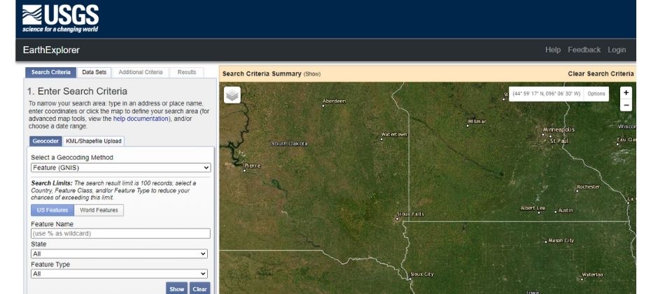
EarthExplorer is free and has a large number of satellite data sources, but it is not necessarily the most user-friendly service. You may need to get used to all of the buttons and menu options before you can really get started with it.
This application comes from the Joint Mission, a NASA and USGS program that provides continuous, up-to-date information about Earth’s land areas. In 2013, the satellite was launched to take its place, and it is currently the second-highest resolution available for free for optical data.
Images Available: Resourcesat-1 and Resourcesat-2, ESA (Sentinel-2), Commercial high-resolution satellite imagery like (IKONOS-2, OrbView-3 etc.)
#2. NOAA Data Access Viewer
The NOAA Data Access Viewer is a great tool for those who need to find data from different sources.
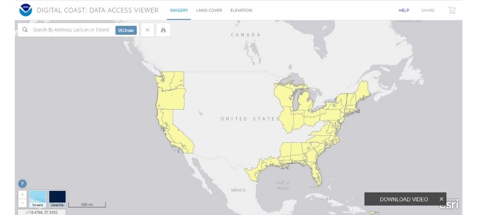
The website has been developed as a way for users to find data from multiple sources in one location, which can be difficult depending on the type of data they are looking for. This tool should be used if someone wants to obtain information about their environment quickly and easily, without having to scour other websites or databases.
Images Available: Imagery, landcover and elevation/lidar. These images are available in infrared and natural colours.
#3. LandViewer from EOS
LandViewer is a free online GIS database. It has an easy to learn interface and gives users quick access to the most widely used satellite images. In addition, it comes with tools for analysing data as well as viewing high-resolution satellite imagery.
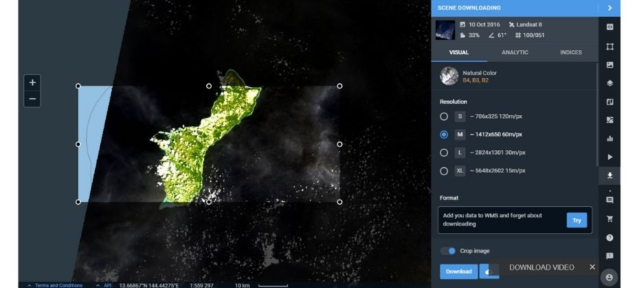
Images Available: Global satellite images, Landsat 7, Landsat 8, Sentinel-1and 2, CBERS-4, MODIS, SPOT 5-7, Pleiades-1, Kompsat-2, 3, 3A, SuperView-1 etc.
#4. Copernicus Open Access Hub
Copernicus Open Access Hub is a very good place to start if you’re looking for Sentinel’s free satellite imagery. If you’re specifically interested in Sentinel-1 or 2, then check out the other sources that offer this imagery as well, as they might have a better interface.
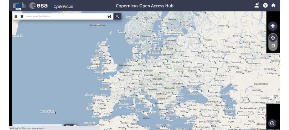
Images Available: It offers radar imagery from Sentinel-1, optical multispectral Sentinel-2 imagery and Sentinel-3.
#5. NASA Worldview
NASA Worldview is a clean and user-friendly platform that lets you access recent satellite data, as well as historical data. The available date picker at the bottom of the screen enables you to easily compare the difference between different dates.
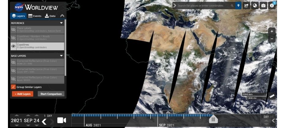
The platform is equipped with satellite data for the most recent incidents that can be filtered by type, area of interest, or time.
Images Available: MODIS, EOS LANCE, EOSDIS DAACs, NOAA, etc.
#6. Zoom Earth
Zoom Earth is a fairly different product to Google Earth. It is there as a Bing competitor and provides the latest satellite images & aerial views in a fast, zoomable map.
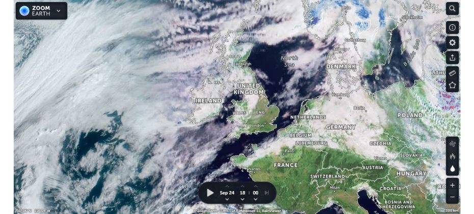
The platform has a 10-minute refresh rate, pulling live data from NOAA GOES and JMA Himawari-8 satellites. 15-minute refresh rate for EUMETSAT Meteosat satellites.
Images Available: NOAA GOES, JMA Himawari-8(10 Min Refresh Rate), EUMETSAT Meteosat(15-Min Refresh Rate), GIBS, Suomi-NPP, MODIS Aqua and Terra.
#7. Google Earth
Although the best high-resolution images are from satellites, Google Earth offers access to some of the highest resolution imagery that is taken from aeroplanes.
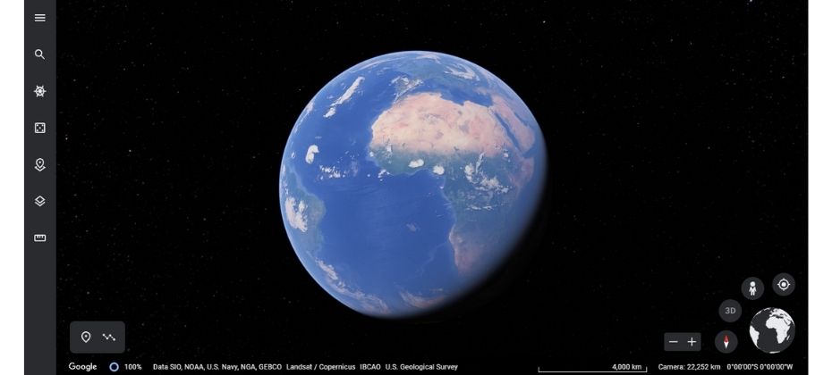
Most of the data on Google Earth was taken over the last 3-4 years. If you’d like to check out pictures of our changing world, you can use Google Timelapse free tool.
Images Available: High-resolution images depend on the area, these free imageries come from Landsat-8 as well as aircraft, drones, kites and balloons.
Read More:
Google Map Vs Google Earth: The Complete Guide on the Differences
19+ Google Earth Pro Tutorial: Best Video & Step By Step Instructions
#8. DigitalGlobe Open Data Program
The Maxar Open Data Program (formally: DigitalGlobe Open Data Program) offers fantastic resources to those affected by natural disasters. It’s a great way to get access to high-resolution optical data.
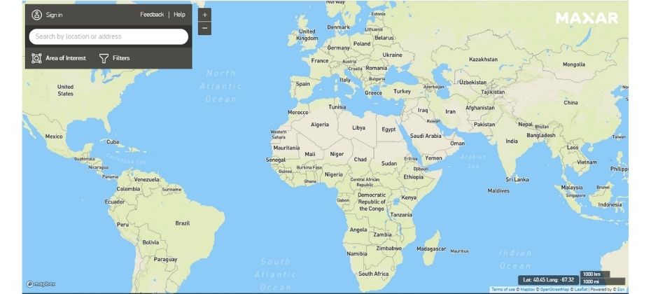
Images Available: Free high-resolution images from Maxar Satellites.
#9. Sentinel Hub
Sentinel Hub provides two services, the EO Browser and Sentinel Playground.
EO Browser is a web service that has some free satellite imagery of medium resolutions with an easy-to-navigate interface. Additionally, one of its advantages is the ability to analyze and visualize image data.
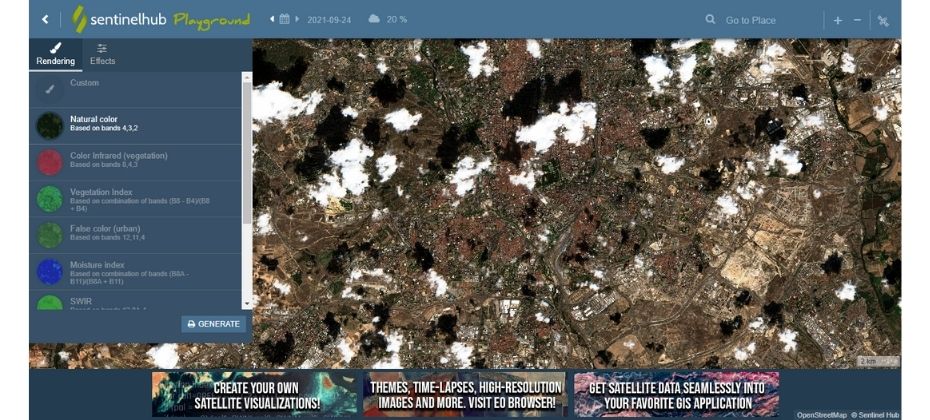
The Sentinel Playground service is more of a fun way to explore segments of the global satellite imagery mosaic.
Images Available: Landsat 5-7, 8, MODIS, Envisat Meris, Proba-V, and GIBS products.
#10. Natural Earth’s Data
NASA’s Earthdata Search offers a lot of data about our Earth, from multiple sources.

Earthdata Search is a useful resource for anyone who has their own needs for NASA’s Earth observation data. It might not be the best free source around but professionals and scientists make good use of it.
Amateurs might like to start with more user-friendly sources since they can come back to Earthdata Search later on.
Images Available: Aqua and Terra, Nimbus, CALIPSO, Landsat, ENVISAT, GOES, NOAA satellites etc.
#11. Remote Pixel
Remote Pixel, a free satellite imagery resource, is the only one that doesn’t require you to log in. It was created entirely by one person (Vincent Sarago) who knows how important it is to have complete access to all of the features.
Remote Pixel is a satellite data company that provides affordable satellite imagery, search capabilities, and visualization tools for your data. However, they may not the best to download the datasets you need.
Images Available: Landsat 8, Sentinel-2, and CBERS-4.
#12. Bhuvan Indian Geo-Platform of ISRO
Bhuvan is a Geo-Platform of ISRO for earth observation data and services. It serves data from multiple space, air and ground-based sensors. The data currently available on Bhuvan includes the Indian continent, with several features applicable for global use (e.g., NDVI global coverage).
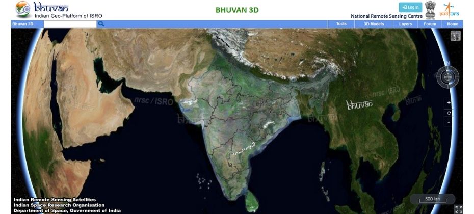
Images Available: Indian Satellites Imagery – IMS, Oceansat, Cartosat, Resourcesat.
If you’re looking for free GIS data, you’ll find plenty of sources on the web. We suggest starting with these 12 top-ranked High-Resolution Satellite Imagery Services for your best experience.
Conclusion
Digital mapping is a resource that is being utilized more and more in the modern world. Free satellite imagery allows people to view the world from different angles and has many uses such as planning trips, assessing land, and monitoring environmental changes.
The latest technology has made it possible for us to get real-time satellite images of almost any place on earth.
