
List of Common GIS File Formats: A Comprehensive Guide
Geographical features are often stored in Raster and in Vector format. There are numerous formats available for both raster and… Read More »List of Common GIS File Formats: A Comprehensive Guide
Geographical features are often stored in Raster and in Vector format. There are numerous formats available for both raster and… Read More »List of Common GIS File Formats: A Comprehensive Guide

Google Earth is a Geo Browser that represents the Earth in 3D, based on the satellite and aerial imagery. It… Read More »Take a Virtual Tour of Earth Using Google Earth
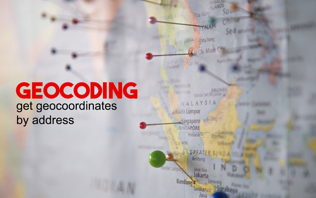
What Is Geocoding and How It Works? From simple statistics evaluation to business and client management to distribution strategies, there… Read More »What Is Geocoding and How It Works?
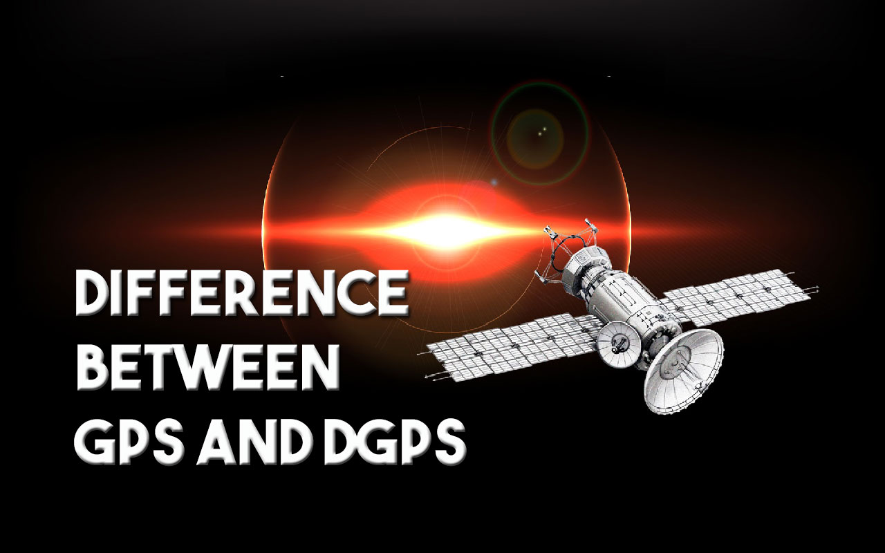
The GPS and DGPS both are the satellite-based navigation systems. The fundamental distinction between GPS and DGPS lies in their… Read More »Difference Between GPS and DGPS
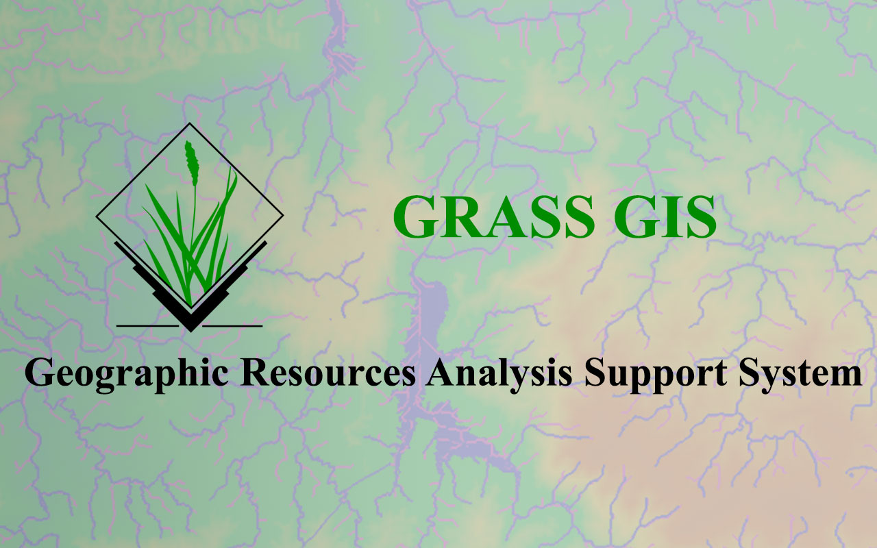
Lots of GIS application are available in the market but still, there is a lot of demand for GRASS GIS,… Read More »GRASS GIS – Geographic Resources Analysis Support System
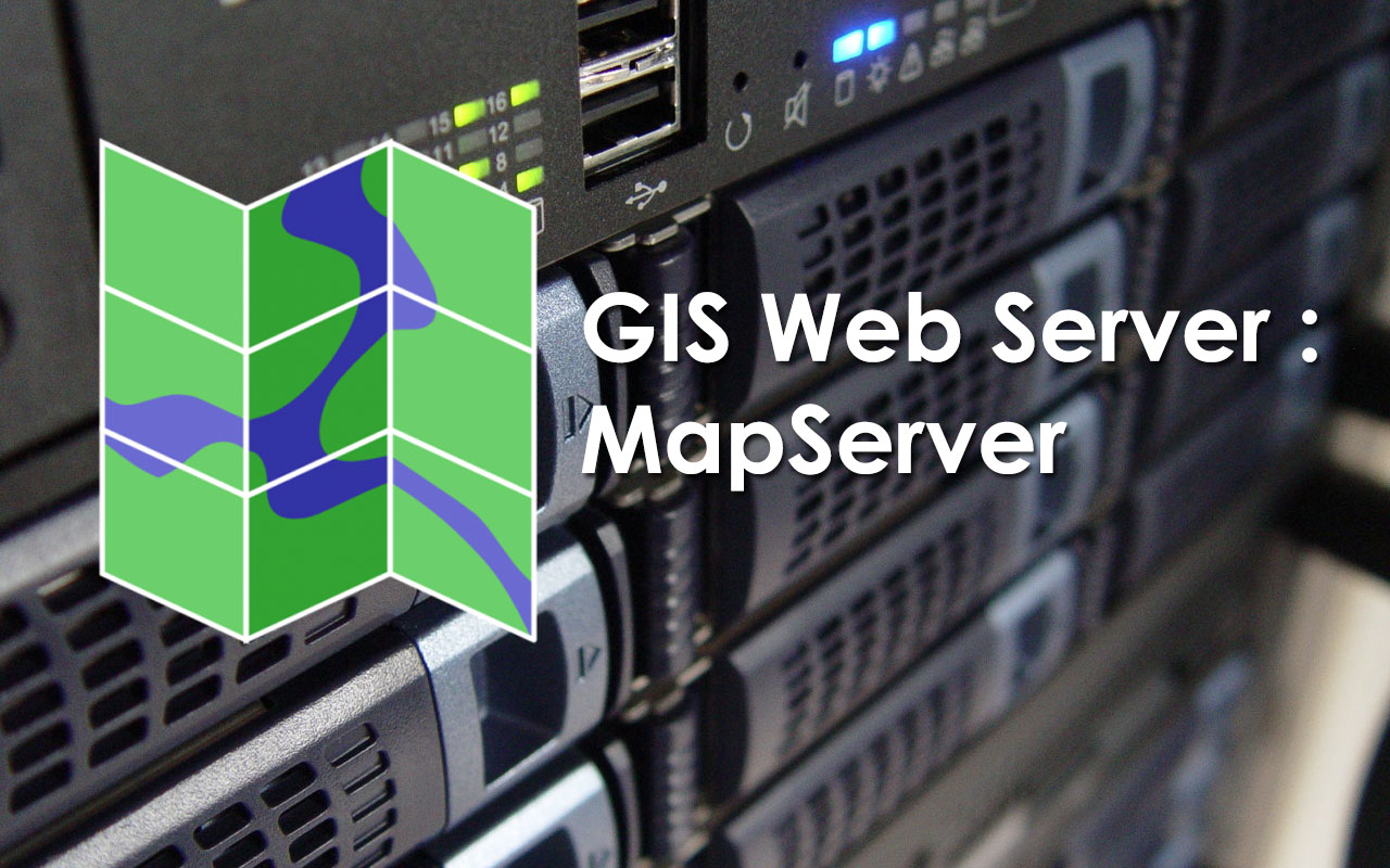
MapServer is the most popular open source development environment available today for building spatially-enabled gis web mapping applications and services.… Read More »GIS Web Mapping: An Overview of MapServer
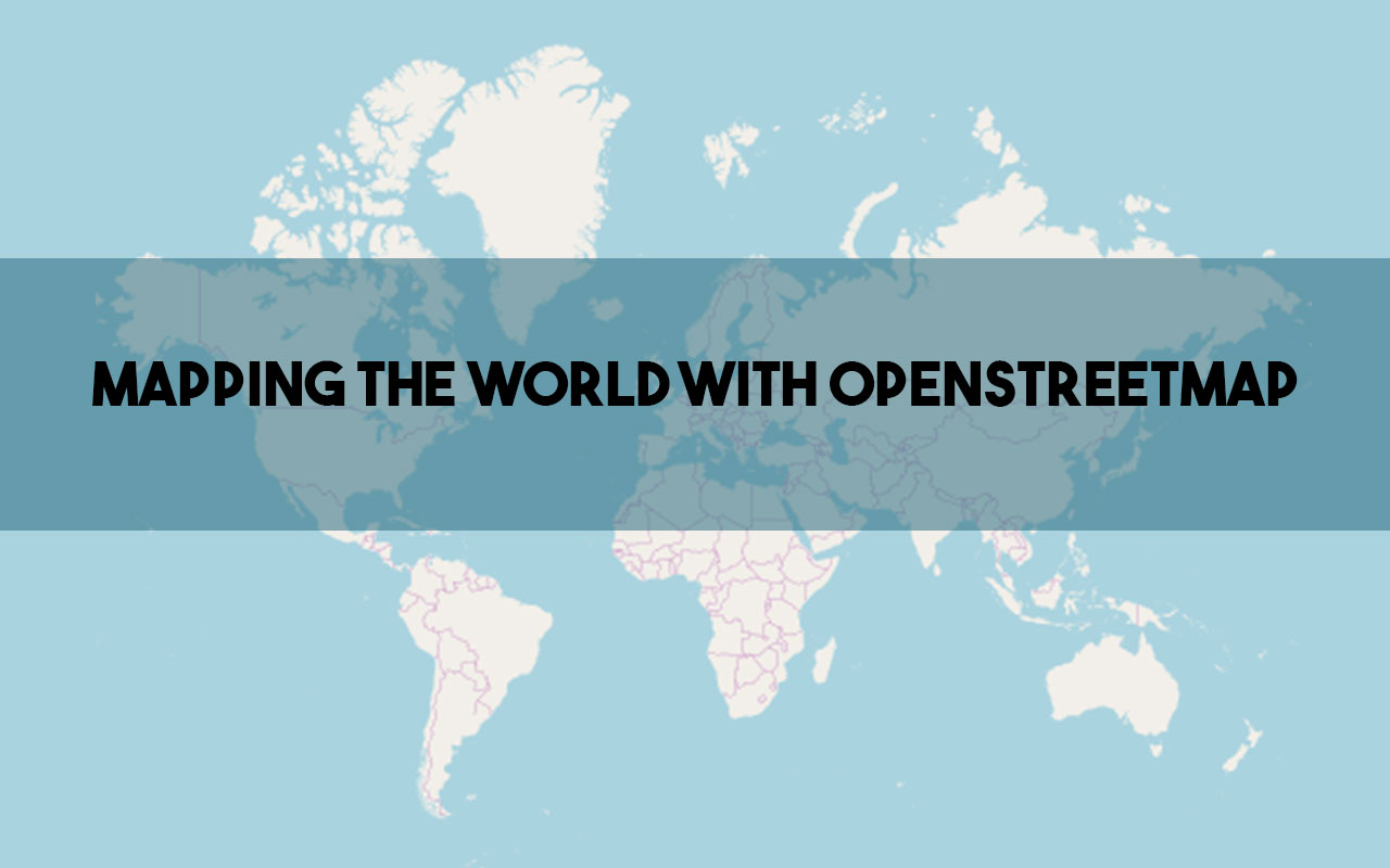
OpenStreetMap, often abbreviated as OSM, is a community-driven open source mapping platform. It allows anyone to contribute to a worldwide… Read More »OpenStreetMap: Your Guide to Open Source Mapping Explained
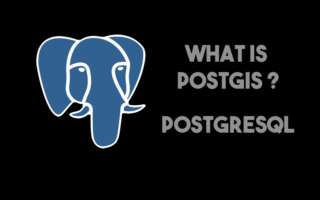
It is a spatial database extension to PostgreSQL Database, which allows Geographic Information Systems objects to be stored in the… Read More »What Is PostGIS-PostgreSQL?
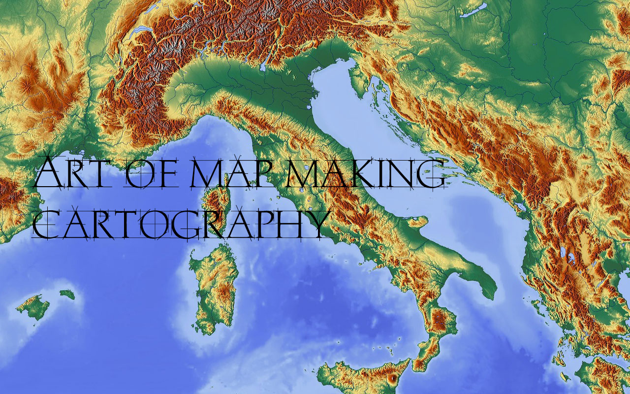
Maps make our lives infinitely easier. From finding our way around town to finding a store in a shopping mall,… Read More »Cartography – The Art Of Map Making: Unlocking the Secrets of Our World

Geographic Information System (GIS) is a powerful tool for capturing, analyzing, and presenting spatial data. It is widely used in… Read More »Raster and Vector Data Model In GIS: Understanding GIS Data Structure