How To Get My Business On Google Maps Free? – 5 STEPS
The easiest way to get your business on Google Maps is to use Google My Business. Find out How to… Read More »How To Get My Business On Google Maps Free? – 5 STEPS
The easiest way to get your business on Google Maps is to use Google My Business. Find out How to… Read More »How To Get My Business On Google Maps Free? – 5 STEPS
Remote sensing is a technique of measuring Earth surface features from a distance. It is used in, but not limited… Read More »What is Remote Sensing? Uncovering a Buried Treasure
Google Earth is a free software application from Google. It allows users to view Earth surface through High Resolution Satellite… Read More »How To Download And Install Google Earth On Windows 10
If you want to use QGIS on your Windows PC but you don’t know How to download and install QGIS… Read More »How To Download And Install QGIS On Windows 10
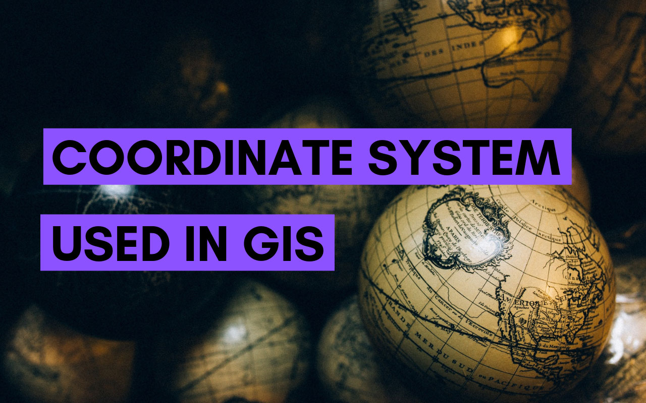
A coordinate system defines the location of a point on a planner or spherical surface. Without a precise definition of… Read More »Coordinate System Used In GIS – Ultimate Guide
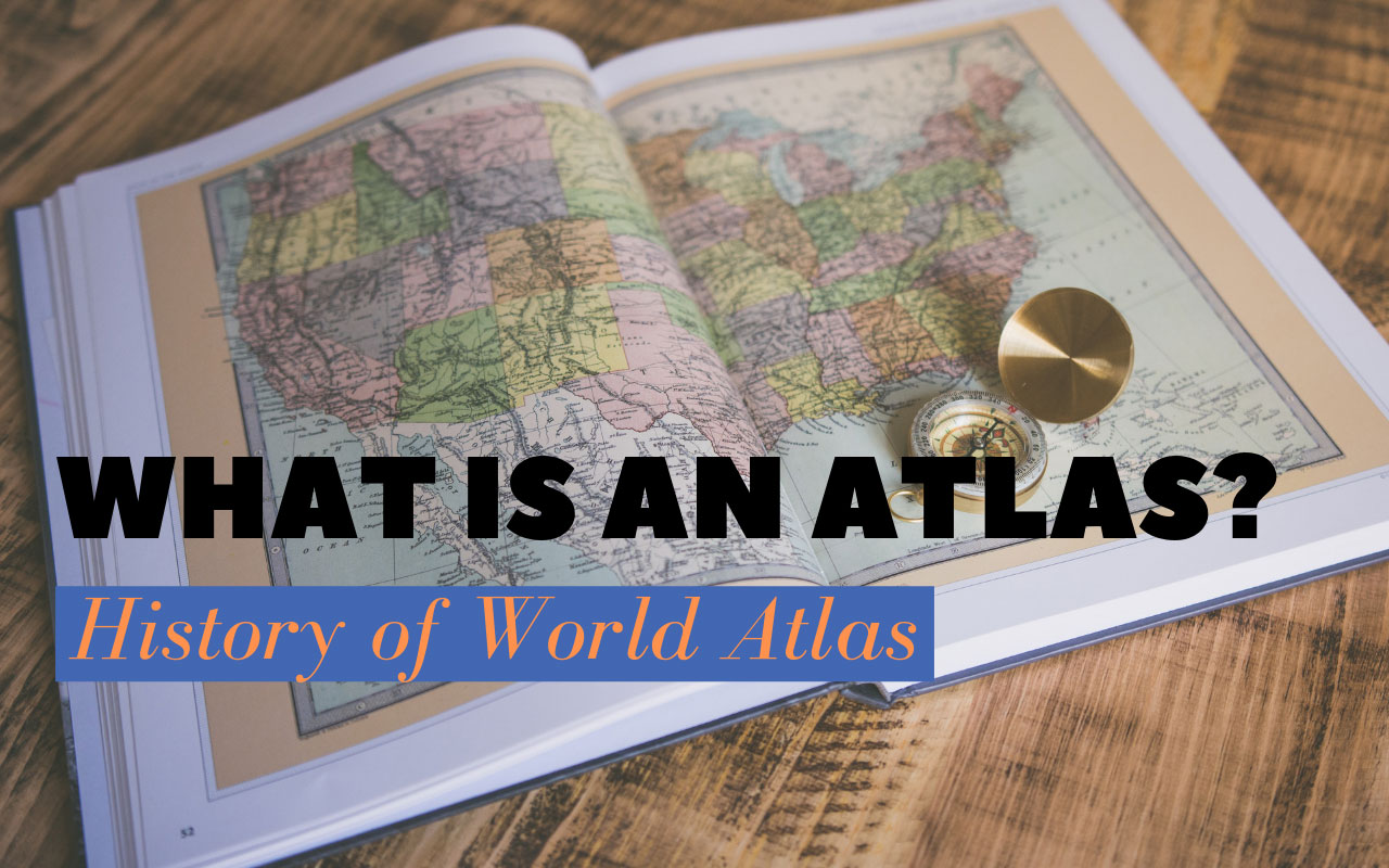
World Atlas is an assembly of various maps of the earth or a specific region of the earth, such as the U.S.… Read More »What Is an Atlas? History of World Atlas
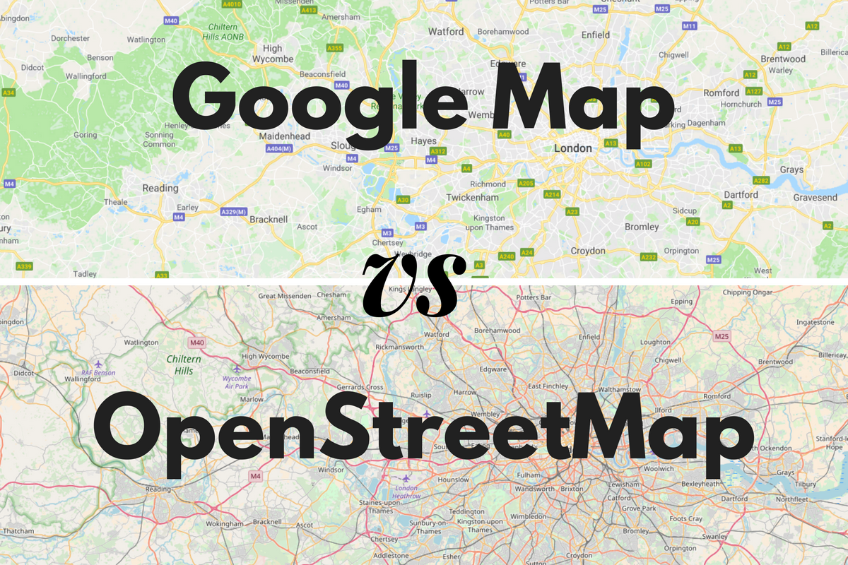
As a developer or cartographer, or you simply needs to find as location on map then you have to choose… Read More »Web Mapping Service: OpenStreetMap vs Google Map
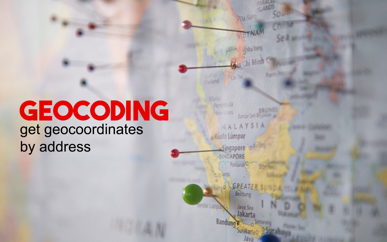
What Is Geocoding and How It Works? From simple statistics evaluation to business and client management to distribution strategies, there… Read More »What Is Geocoding and How It Works?
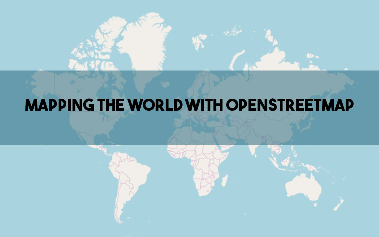
OpenStreetMap (OSM) is supported by OpenStreetMap Foundation, is an open source project maintained by the OpenStreetMap Community that provides free… Read More »OSM: Mapping the World with OpenStreetMap
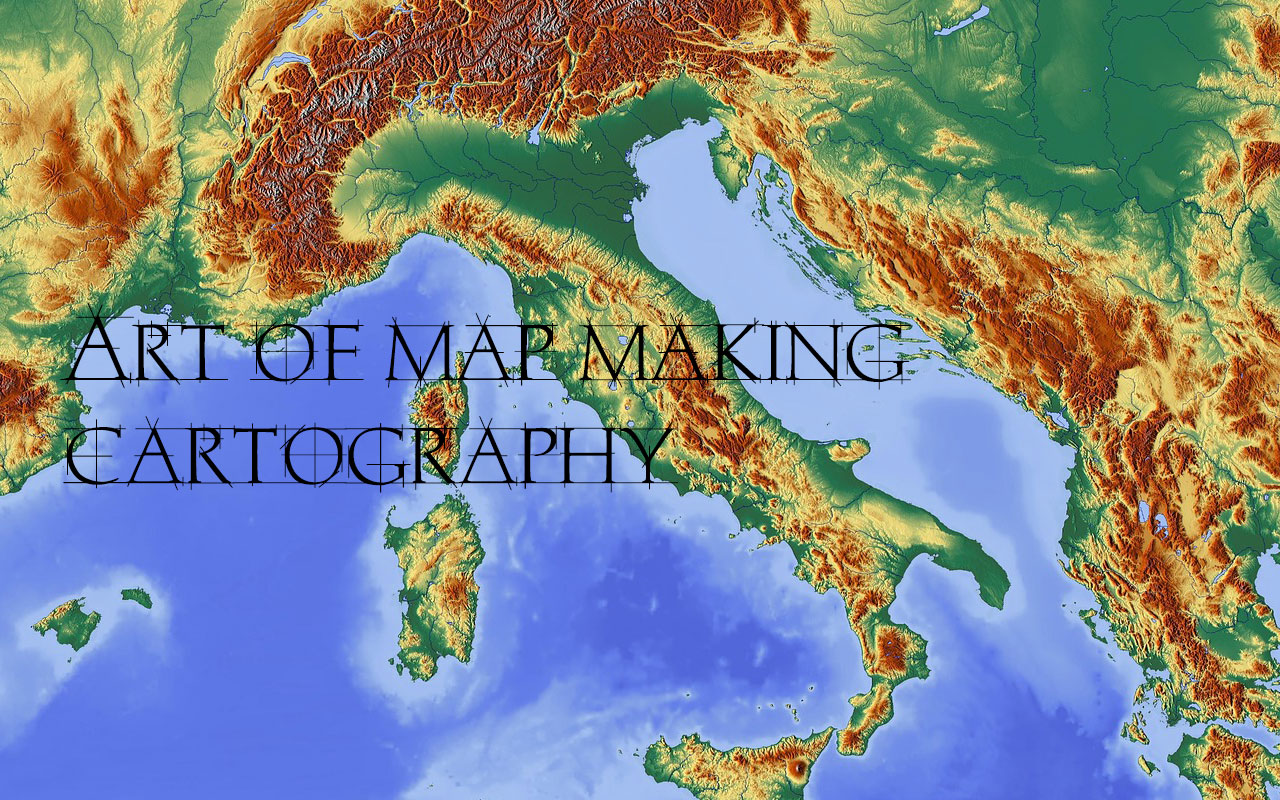
Maps make our lives infinitely easier. From finding our way around town to finding a store in a shopping mall,… Read More »Cartography – The Art Of Map Making: Unlocking the Secrets of Our World