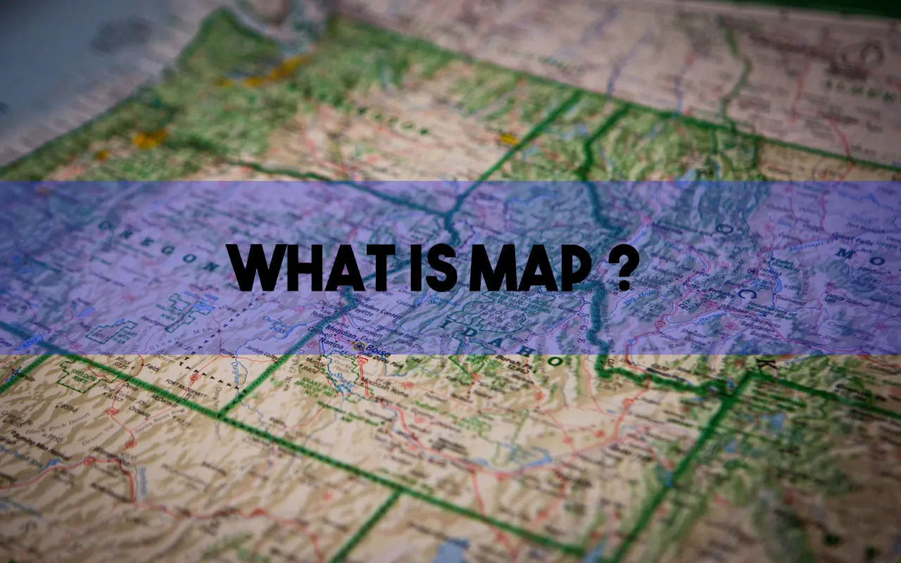
We see them and we use them often in our everyday life whenever we travel to new location or place, but what is a map?
Map is a representation of the spatial distribution of phenomena or objects. Maps are essential to understanding the world around you. They help you navigate unfamiliar terrain, locate nearby amenities and navigate home from a long day of sightseeing.
For Example, a map may show the location of cities, road networks, rivers, or natural resources in a given region. Maps present their spatial information to the viewer at a reduced scale.
Maps are created by Cartographers. Cartography refers to the study of map making and as well as “The Art of Map Making”. Maps represent information by using symbols that are identified in a legend of the map.
In this article, we’ll demystify the ins and outs of maps and how they can help us.
Map and Globe
Map and Globe are two of the most fundamental tools for world exploration. A globe (model of the earth) is a map. Globes are some of the most accurate maps that currently exist because the earth is a three-dimensional object that is close to a spherical.
Maps lose their accuracy because they are actually projections of an area or the entire Earth. Every Map Projection has some distortion. Maps provide a visual representation of the world, while globes show the relative position of different parts on Earth. They both illustrate information that can help us understand our place in this world.
Advantages of Maps Over Globe:
- Maps are more compact than the globe.
- They are easy to store and cheaper to produce.
- Maps can hold a various range of scales.
- Can easily be viewed on different sized screens.
- They can show larger portions of an area at once.
- Maps can show only one side while globes always show all sides.
- Globes can be rotated while maps cannot be rotated after they have been drawn.
How Maps Are Used?
Maps are one of the most significant yet complicated tools that people use on a daily basis. They provide us with important information through colorful visuals and depth, by plotting points to show the way.
Maps are an important part of our daily life. They help us find our way to places like hospitals, schools, houses and workplaces. Some people use them for recreational purposes like hiking or hunting. Some of the uses of Maps are:
- To locate places on the earth surface.
- To find patterns of distribution.
- To discover relationships between completely different phenomena by analyzing map information.
- They are helpful in navigation, recreation activities, or keeping track of where you visited last time.
Types of Maps
There are many types of maps and these are multiplied by the industries and applications for which they are used, that it can be difficult to classify them into groups. Different types of maps can be found in different categories and used for different purposes.
A common classification system divides maps into two categories: General and Thematic.
General Maps: These are the maps which show physical features of an area. They summaries the actual landscape.
Thematic maps or special purpose map: those which describe on specific features using the landscape as a background. Thematic maps can further divided into two categories: Qualitative & Quantitative.
In the recent year, thematic maps are growing in importance and becoming more readily available.
The following are the list of most common types of maps that you might need in your everyday life.
#1. Political Map
Political Map is referred to maps that show boundaries of countries, state, county’s, small and large towns and cities and they also include significant water bodies typically with blue colors. An example of Political Map would show states and their borders along with the country international border.
#2. Physical Map
Physical map is focused on the geography of the area and they generally show features like mountains, rivers, and lakes. Typical colors are Blue for water features, Green for lower elevation and Brown for high elevations. Features are rivers, mountains and lakes are usually labelled.
#3. Topographic Map
A Topographic map shows height that you can measure, it is similar to a physical map that shows different physical landscape features. This type of maps may use contour lines instead of colors to show changes in the landscape. Contour lines shown on topographic maps are generally spaced at regular intervals to show elevation changes.
Topographic maps are most commonly used in geology, geography, engineering, surveying, science education and military operations. Maps adapted for navigation purposes include detailed description of natural or man-made features that can be seen from a given vantage point.
#4. Climate Map
A climate map is a depiction of the climate of an area. These maps are used to show climatic zones of a specific area based on the temperature. These maps normally use colors to show different climatic areas. Map Legend helps to identify each climatic zone based on colors.
More specifically, a climate map is a set of charts that shows how variables such as temperature and precipitation change over time. These maps are typically depicted using a color scale from blue for cold to dark brown for hot.
#5. Road Map
A roadmap is currently one of the most widely used map types. These maps show major and minor highways and roads as well as other transport features like airports and ports. They can also show city locations and points of interest such as parks, hotels, grounds, open area and monuments.
You can use them for travelling, tourism, or navigation purposes. They usually depict roads and landmarks to help you understand the terrain and find your way around.
Generally, Red color is used to show Major highways on a roadmap and are often larger than other roads, while lighter color and narrower line are used for minor roads.
#6. Thematic Map
A thematic map is a map that focuses on a particular(single) theme or special purposes such as population density or average annual income of a particular area. They can portray natural features like rivers, cities, and highways in the background.
It is similar to a spreadsheet in that it shows the logical structure of your main points, but it uses visual symbols and images to represent each point. Thematic maps are popular for their easy-to-understand structure and the ability to visually create concepts.
#7. Cadastral Map
Cadastral maps are mainly used to record areas of land belonging to one country, state or municipality. They are also known to be the most comprehensive maps of the world. The term “Cadastre” originally meant “division”, referring to the division of land into ownership for taxation purposes.
Cadastral maps provide information on land ownership, boundaries, property values, mineral rights, and other assets. These maps are generally useful to taxation agencies, land surveyors, and land co-operatives.
#8. Navigational Chart Map
Navigational charts, also known as navigation charts and nautical charts, are maps designed for use by sailors and other watercraft users.
Navigational charts shows the shoreline or seafloor of a body of water. They show information such as depth contours, depths at points along a route on the chart, tidal elevations (height of the water on parts of the shoreline), tidal streamlines (lines indicating direction and speed), prominent landmarks, navigational aids such as waypoints and beacons, obstructions such as shoals or reefs and routes of safe passage.
#9. Time Zone Maps
Time Zone Maps are a great way to see what time it is where you are travelling. They allow a traveler to easily compare the current time in various cities and countries around the world. Every country has their own time zone map. This is different from country time zones like United States, which vary by state. The countries in the same time zone share the same clock time.
Time zone maps are created by taking into account standard time zones, Daylight Saving Time, and the International Date Line. A 24-hour clock with 12-hour increments can be used as a time zone map on its own.
#10. Geologic Map
Geologic maps are maps that show the distribution of rocks, soil, and sediment on Earth. The map also shows the distribution of rock types. They are used in many fields including geology, engineering, mineral exploration, oil & gas exploration, archaeology, and mapping. They also provide a lot of information on the geology and history of a particular area.
#11. Bathymetric Maps
Bathymetric maps are made by gathering data from ship’s sonar. The data is then transformed into a digital map to show the depths of the sea floor or other underwater features. Bathymetric maps are used to explore the depths and topography of the ocean floor and support scientific research into marine ecosystems.
Maps like these can be used to identify underwater objects, such as shipwrecks and oil platforms.
How Maps Are Made?
Before creating a map, cartographers decide what space they require to show and what kind of data they require to show the knowledge. They take the requirements of their audience, into account and also the main purpose of the map to be created.
These choices confirm what map projection and scale they have, and what varieties of details area unit enclosed.
The language of the map is one of the most common issue a cartographer should take into consideration. Lines of latitude, Longitude and meridian unit mathematically premeditated on a flat surface. Choices unit drawn in their acceptable location.
Before the use of advanced computer and printing techniques, maps were drawn by hand. Cartographers used to draw, the map on a coated plastic sheet with an etching tool, scraping away the colored coating to go away clear, sharp lines. Many totally different sheets of plastic were stratified on top of every different to feature shading and place names. The plastic sheets were used to create a metal printing plate, or proof, for publication of the map.
Today, most mapping is finished with the help of computers. The coordinates of every purpose area unit entered into computer. By feeding every new information into the computer or by deleting previous information, any map changes are often created quickly and simply.
Conclusion
The map is an object that many people use on a day to day basis. It’s not just for geographers or cartographers anymore. Maps are now used for all sorts of purposes, whether it be for convenience, decoration, or even just as a conversation starter! There are many types of map online that can help you with whatever need you may have.
