
5 Best Projected Coordinate System For United States
Choosing the best projected coordinate system for mapping or analyzing spatial data in the United States is a complex task… Read More »5 Best Projected Coordinate System For United States
Choosing the best projected coordinate system for mapping or analyzing spatial data in the United States is a complex task… Read More »5 Best Projected Coordinate System For United States
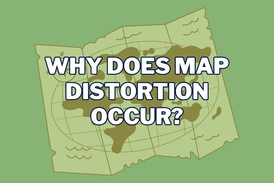
Have you ever looked at a map and wondered why certain areas look bigger or smaller than they actually are?… Read More »Why Does Map Distortion Occur?

This article will explore the differences in map projections, Best Map Projections and how they impact maps in various ways.… Read More »5 Best Map Projection: Which One Should You Use?
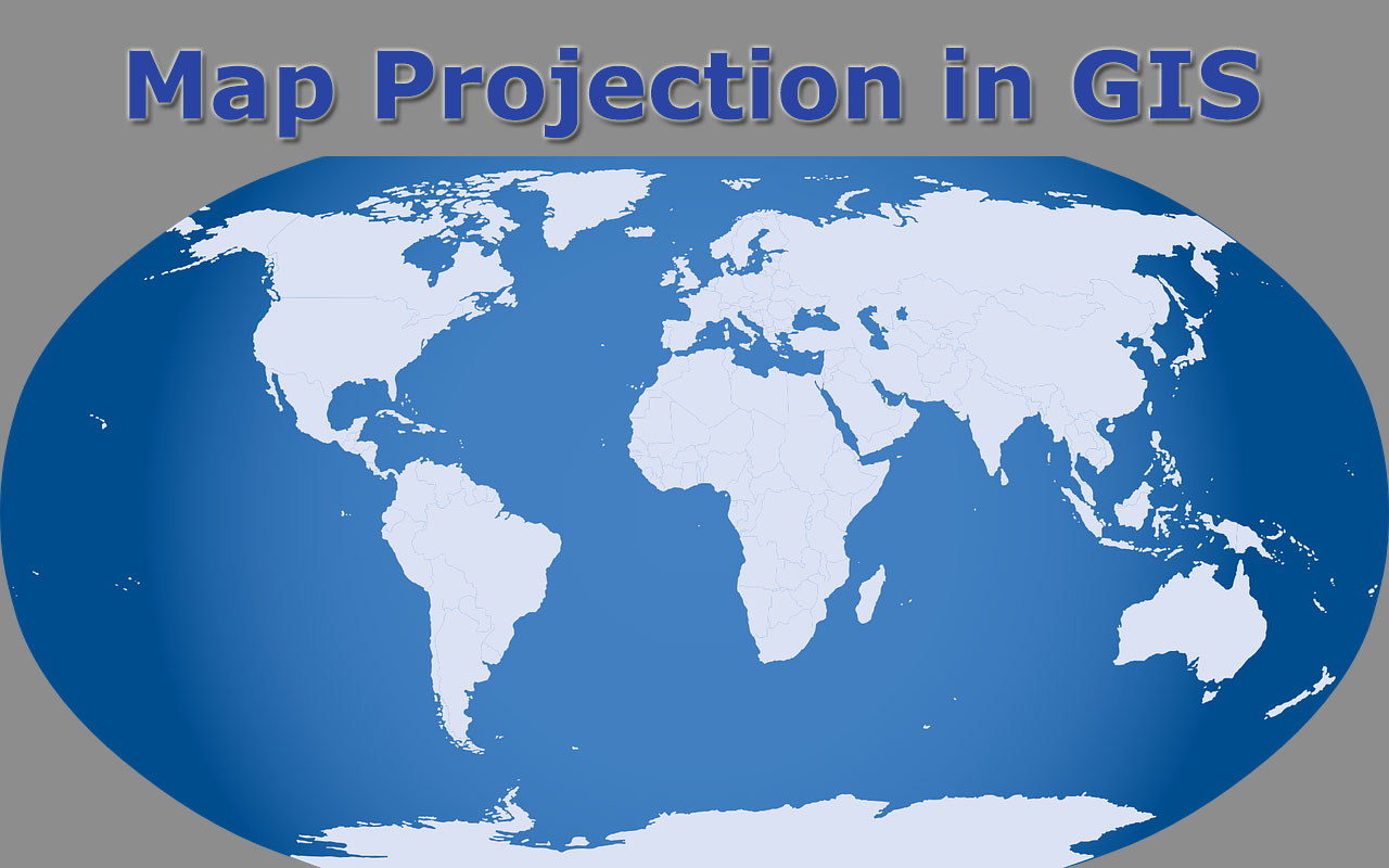
A map projection is a technique for taking the curved surface of the earth and showing it on something flat,… Read More »What Is A Map Projection? Different Types of Map Projection and How to Choose?