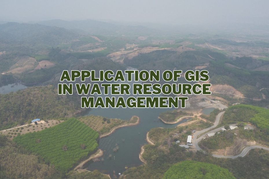
The application of GIS in water resource management represents a pivotal shift towards more sustainable and efficient environmental stewardship. As we delve into this transformative technology, we uncover how it’s not just reshaping the way we understand our planet’s most vital resource but also how we manage it in the face of escalating global challenges.
The primary benefits of GIS in water resource management include improved decision-making, enhanced resource planning, and environmental conservation. It allows for better allocation of resources, long-term planning, and the protection of natural habitats.
Understanding GIS In Water Resource Management
What is GIS?
GIS, or Geographic Information System, is a powerful tool that allows us to capture, store, analyze, and visualize geographic data. It combines various data sources, including satellite imagery, aerial photographs, maps, and other geographical data, to create a comprehensive and interactive platform for decision-makers and experts.
Water Resource Management
Water resource management is the process of planning, developing, and managing water resources for various purposes, including drinking water supply, agriculture, industry, and environmental conservation. It involves balancing the demand and supply of water while considering the sustainable use of this finite resource.
The Role of GIS In Water Resource Management
1. Mapping and Analysis of Water Sources
GIS provides the capability to map and analyze water sources efficiently. This includes the mapping of rivers, lakes, reservoirs, aquifers, and water distribution networks. By having a clear understanding of these resources, authorities can make informed decisions regarding their management and allocation.
2. Water Quality Monitoring
Maintaining water quality is essential for human consumption and the health of aquatic ecosystems. GIS can be used to monitor water quality parameters, such as pH levels, temperature, and pollution levels. This information is vital for identifying areas with water quality issues and taking corrective measures promptly.
3. Flood Prediction and Management
Floods can cause significant damage to communities and the environment. GIS can be utilized to create floodplain maps, assess flood risks, and develop flood management strategies. By analyzing historical data and weather patterns, GIS can provide early warning systems, allowing authorities to take preventive actions.
4. Drought Management
Droughts can have devastating effects on agriculture, water supply, and ecosystems. GIS can help in monitoring and predicting drought conditions. By analyzing rainfall data, soil moisture levels, and water usage patterns, authorities can plan and implement strategies to mitigate the impact of droughts.
5. Water Conservation and Usage Efficiency
Efficient water usage is crucial for sustainable water resource management. GIS can identify areas with high water usage and help in optimizing water distribution. It can also assist in locating leaks in water pipelines, reducing water wastage.
Benefits of Using GIS In Water Resource Management
a. Improved Decision-Making
GIS provides comprehensive data and visualizations that aid in better decision-making. It enables authorities to allocate resources effectively and respond quickly to water-related challenges.
b. Enhanced Resource Planning
GIS helps in long-term planning for water resource management. It allows for the identification of potential sources of water, the development of new reservoirs, and the optimization of water distribution networks.
c. Environmental Conservation
By monitoring water quality and ecosystems, GIS contributes to the conservation of natural habitats and aquatic life. It ensures that water resource management is sustainable and environmentally friendly.
Challenges in Implementing GIS
While GIS offers substantial benefits, it comes with its own set of challenges in water resource management:
Data Integration
Collecting and integrating data from various sources can be complex, as different agencies may use different formats and standards.
Cost
Implementing GIS technology can be expensive, including software, hardware, and training costs.
Skilled Workforce
There’s a need for a skilled workforce capable of handling GIS technology effectively.
The Future of GIS In Water Resource Management
GIS technology is evolving rapidly, and its future in water resource management looks promising:
Real-time Monitoring
Advancements in sensor technology and data transmission will enable real-time monitoring of water resources.
Enhanced Decision Support Systems
GIS will continue to improve decision support systems, providing better tools for policymakers and managers.
Integration with AI
The integration of GIS with artificial intelligence will enhance predictive modeling and data analysis capabilities.
Public Engagement
GIS tools will become more accessible to the public, allowing citizens to actively participate in water resource management.
Stay tuned for further exploration of how GIS technologies are being applied in various sectors, including military operations, tourism and hospitality, archaeology, and soil mapping, by visiting the following links:
- GIS in the Military
- GIS Application in Tourism & Hospitality
- GIS in Archaeology
- Applications of GIS in Soil Mapping
Conclusion
In conclusion, the application of GIS in water resource management has transformed the way we approach the management and conservation of this precious resource. With its ability to provide accurate data, visualizations, and predictive analytics, GIS empowers authorities and experts to make informed decisions, mitigate risks, and ensure the sustainable use of water resources for generations to come.
FAQs: Application of GIS In Water Resource Management
Can GIS be used to conserve water?
Yes, GIS can be used to conserve water by identifying areas with high water usage, optimizing water distribution, and locating leaks in water pipelines. It contributes to efficient water resource management.
How does GIS help in preventing floods?
GIS helps in preventing floods by creating floodplain maps, assessing flood risks, and developing flood management strategies. It analyzes historical data and weather patterns to provide early warning systems for authorities.
What role does GIS play in monitoring water quality?
GIS plays a crucial role in monitoring water quality by analyzing parameters such as pH levels, temperature, and pollution levels. It helps identify areas with water quality issues and facilitates timely corrective actions.
