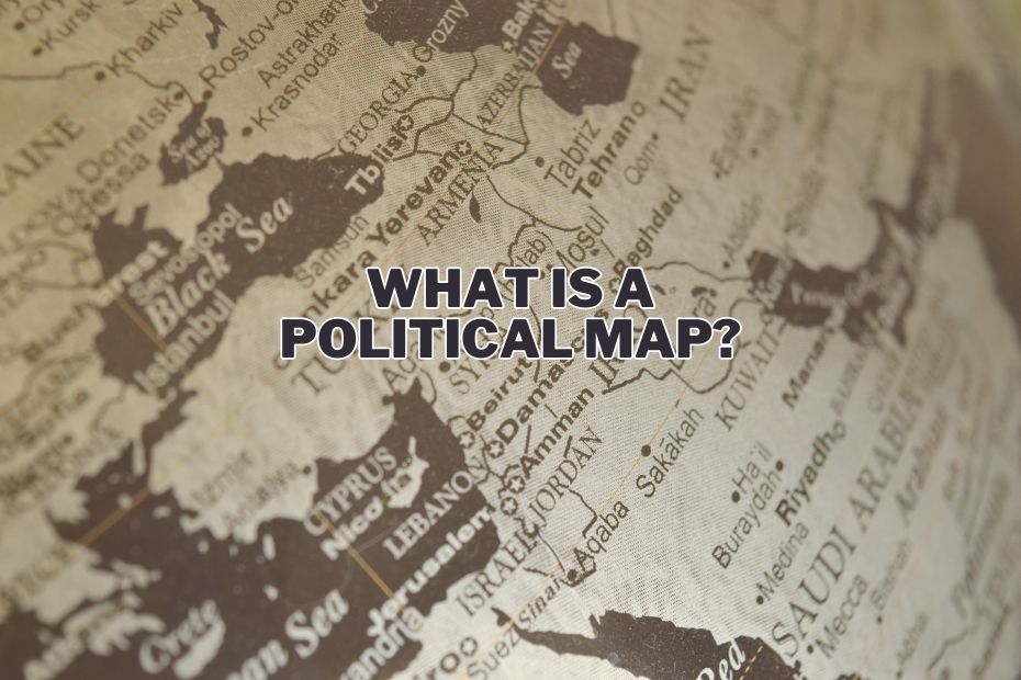
Political maps are not just about lines and colors on a page; they represent the complex choreography of human history, governance, and territorial claims. These maps serve as a cornerstone for understanding the political layout of the world, offering insights into how countries and regions are organized and interact. In this article, we delve into what is a political map, its history, advantages and disadvantages, usage, key users, and how to effectively read one.
A political map displays political boundaries of countries, states, and cities, highlighting how humans have divided the earth into various administrative regions. It’s essential for understanding the political landscape, aiding in education, decision-making, and providing a basis for geopolitical discussions.
Introduction to Political Maps
A Political Map is a visualization that distinctly showcases boundaries between countries, states, provinces, and other units, highlighting how humans have divided the surface of the Earth. It’s a tool not only for geographers but for anyone interested in the geopolitical landscape of the world.
What Makes a Political Map?
A political map is a type of map designed to showcase governmental boundaries of countries, states, and counties, along with the locations of major cities and significant bodies of water.
Unlike physical maps, which emphasize geographical features like mountains and rivers, political maps focus on the imaginary lines that define territorial boundaries.
The Essence of Political Maps
These maps serve as a visual representation of our world’s political divisions, providing a clear picture of country borders, capital cities, and other important geopolitical information. They are indispensable tools for students, educators, travelers, and professionals alike, offering insights into the political landscape of different regions.
Features of Political Maps
Boundaries and Borders
One of the primary features of political maps is the delineation of country and state boundaries. These lines, often drawn in bold colors, help to distinguish one political entity from another.
Capital Cities and Major Towns
Political maps also highlight the administrative centers of political regions, providing valuable information about the hierarchy and organization of power within a country.
Significant Bodies of Water
While the main focus is on land divisions, political maps also include major bodies of water, such as oceans, seas, lakes, and rivers, which often serve as natural boundaries between nations.
Applications and Uses
Political maps find application across various domains:
- Educational Tools: They are fundamental in teaching geography, offering a visual aid to understand the complex web of international borders and political divisions.
- Planning and Policy Making: Governments and organizations use political maps for planning, policy development, and diplomatic negotiations, ensuring decisions are informed by accurate geographical data.
- Navigation and Travel: While not as detailed in navigational features as road maps, political maps assist travelers in understanding the geopolitical context of their destinations.
Creating and Interpreting Political Maps
The Process of Map Making
Creating a political map involves meticulous research and a clear understanding of current geopolitical landscapes. Cartographers must stay updated with the latest territorial changes and disputes.
Interpreting Political Maps
Understanding political maps requires knowledge of geopolitical contexts. Recognizing the significance of colors, symbols, and lines used is crucial for accurate interpretation.
Challenges and Limitations
Political Bias and Disputes
Political maps can sometimes reflect the political biases of their creators or fail to accurately represent disputed territories.
Evolving Boundaries
The dynamic nature of political boundaries, influenced by wars, treaties, and diplomatic negotiations, poses a challenge for cartographers to keep maps up-to-date.
The Evolution of Political Maps
The design and content of political maps have evolved significantly over time, influenced by historical events, technological advancements, and shifts in political power.
Today, digital mapping technologies and GIS (Geographic Information Systems) have transformed how political maps are created, updated, and accessed.
Digital platforms allow for real-time updates, reflecting changes in political boundaries and providing users with the most current geopolitical information.
When to Use?
Political maps are invaluable in various scenarios, including educational settings, geopolitical analysis, travel planning, and when following international news to understand the geographical context of global events.
Who Uses a Political Map?
A wide range of users relies on political maps, including students, teachers, political scientists, historians, travelers, and journalists. They are fundamental in understanding the world’s geopolitical divisions and how they influence global dynamics.
Conclusion
Political maps are more than just pieces of paper or digital images; they are windows into the complex world of international relations and governance. By providing a clear and organized visual representation of political boundaries and significant geographical features, these maps play a crucial role in education, navigation, and geopolitical analysis. Understanding and interpreting political maps can enrich our knowledge of the world and foster a deeper appreciation for the intricacies of global politics.
FAQs: What is a Political Map?
What differentiates a political map from a physical map?
Political maps focus on man-made boundaries and political divisions, while physical maps highlight natural geographical features.
How often do political maps need to be updated?
Political maps must be updated regularly to reflect changes due to political events, such as wars, treaties, and new legislation.
Can political maps show disputed territories?
Yes, but how they are shown can vary depending on the map’s perspective, often leading to controversy.
Why are capital cities often highlighted on political maps?
Capital cities are highlighted to denote political importance and administrative centers within a country.
How has technology impacted the creation of political maps?
Technology, especially GIS and satellite imagery, has made political maps more accurate, detailed, and accessible to a broader audience.
