
The military has been using cartography, or mapping, for centuries. From communicating troop movements to communicating with airstrikes, the accuracy of map-based communication has led to many military victories. However, new technology is making it easier than ever for cartographers to create maps that are more accurate and detailed than ever before. In this article, we will discuss about the Applications of GIS in the military.
How Is GIS Used In The Military?
GIS has been a revolutionary tool in the military since its conception in the 70s. It is used in the military for a variety of purposes, including intelligence gathering, logistics management, and modernization of weapon platforms.
GIS is also used in battle by soldiers on the ground to receive their orders and to provide them with a map of the battlefield to navigate through.
GIS In Military Operations
GIS data can be collected by drones, GPS or satellites that are orbiting the Earth, which means that war zones are not always necessary for creating new maps. The GIS data collected from these sources can be used to create maps that help soldiers find their enemies more easily. This type of warfare is called “targeting” and it relies on deception and precision rather than brute force.
One of the most popular uses of GIS in cartography is by militaries who use these tools for planning missions like aircraft carrier deployments and training exercises.
GPS Military Applications
Military organizations around the world are adopting GPS technology for their operations. It provides accurate geo-location data which assists with navigation, targeting, and decision making.
GPS is most recognized for use in cars, but it has many useful military applications.
When used with mapping software, GPS allows troops to keep track of enemy activity on maps. In addition, these troops can also see what installations are nearby should they need assistance from a nearby unit.
Applications of GIS In The Military fields:
#1. Defence Site Management
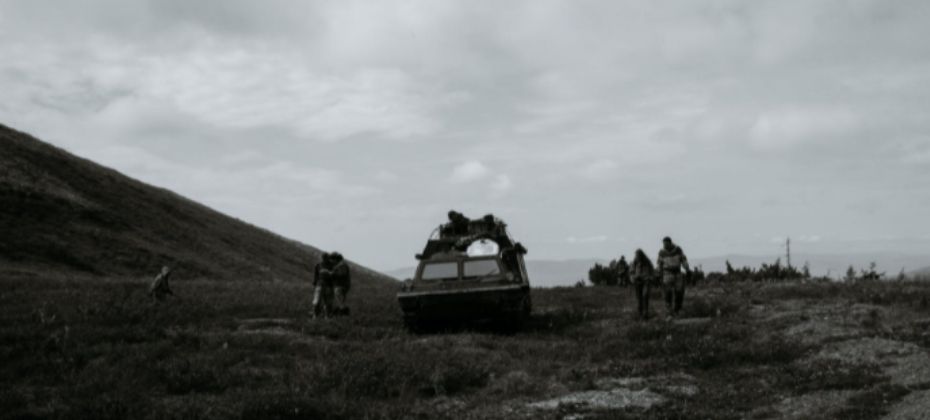
GIS lets the military identify the locations of troops, bases, and important related information. GIS is used for defence site management for the military to manage bases and detachments across all levels of command. It can be used to track troop movements, locate resources, and plan missions.
#2. Naval Operations
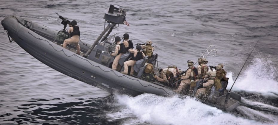
In the past, naval operations were critical to military success. In today’s world, the need for accurate and timely geospatial intelligence for maritime operations is more important than ever. Geospatial intelligence uses imagery, signals and geospatial technologies to produce actionable knowledge about our world.
#3. Air Operations
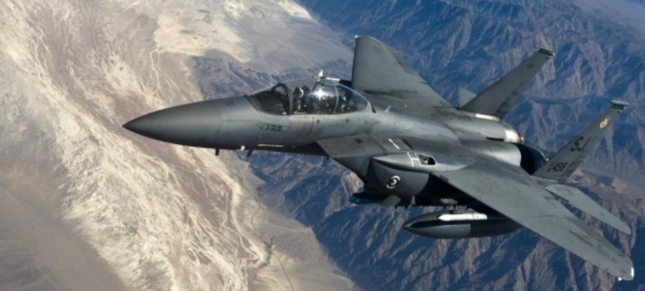
GIS and GPS are integral components of Air Operations. GPS has reduced the limitations of how far away an aircraft can fly from its home base. It is also used in identifying targets for air-to-ground bombing missions. GIS has helped the military with target identification by providing various levels of topographical detail for a designated area of interest.
#4. Weather and Terrain Information

Military intelligence is critical to success in battle, and many analysts use intelligence methods to sort through the heaps of data collected on potential enemies. Military planners often use GIS technology to combine terrain data with other environmental factors such as vegetation cover, wildlife population densities, human population densities, and more. This allows them to create detailed maps that show where troops are most likely to be ambushed or encircled by enemy forces before they ever set foot on the battlefield.
#5. Positional Information

One of the ways GIS is used by the military is to help them plan for future troop movements. They can use GIS to map out where they will be moving their forces and figure out what kind of equipment they will need during that time period.
#6. Logistics Management
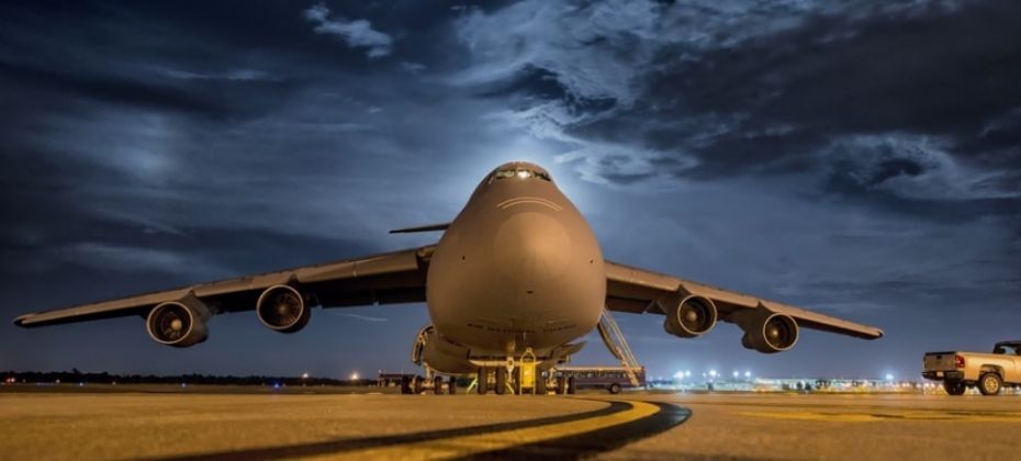
GIS also helps them keep track of logistics such as ammunition, fuel, and supplies so they know what resources they have available at any given time. GIS logistics management solutions are the foundation for most supply chain planning and execution systems.
Conclusion
GIS is used in the military for a number of reasons. One of the most important functions of GIS technology in the military is to provide commanders with detailed, map-driven intelligence. This type of intelligence is very useful for giving leaders an accurate picture of the battlefield, which they can use to make tactical decisions.
In order to know what our opponents are up to, we need reliable information about them. GIS can provide this for us by mapping out their facilities, supply routes, weapons caches and other critical features.