Ancient ruins, hidden treasures, and mysteries of the past – archaeology has always captured our imagination. However, uncovering the secrets of history is not an easy task, especially when it comes to inaccessible and remote areas.
Fortunately, advances in technology have opened up new possibilities in archaeological research, and one of the most promising techniques is remote sensing. In this article, we will explore 17 applications of remote sensing in archaeology, from locating ancient settlements to identifying buried artefacts.
What Is The Use Of Satellite Imagery In Archaeology?
By analyzing satellite imagery, archaeologists can identify potential archaeological sites, map out ancient landscapes, and track changes in land use over time. The data provided by satellites can also help researchers to develop new hypotheses and theories about the history and culture of a region.
Satellite imagery has also proven useful in monitoring the preservation of archaeological sites. Archaeologists can use satellite data to track changes in the landscape over time and identify threats to the integrity of archaeological sites, such as erosion or development.
Additionally, satellite imagery can be used to monitor and assess the impact of climate change on archaeological sites, as well as to inform conservation and management strategies.
Overall, the use of satellite imagery in archaeology has revolutionized the field, providing researchers with an unprecedented level of access to information and allowing for discoveries and insights into our shared human past.
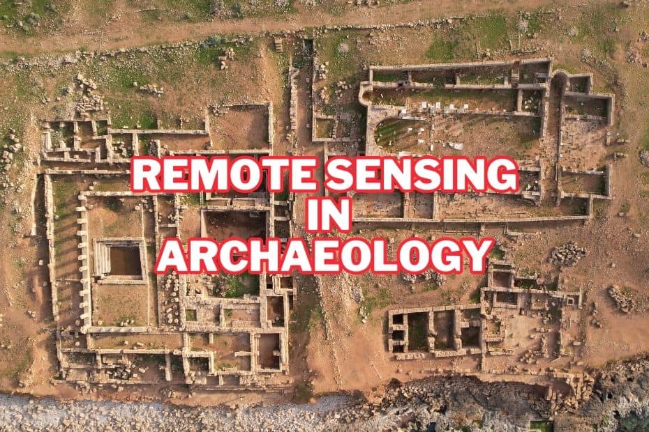
17 Applications of Remote Sensing In Archaeology
The data gathered through remote sensing can be used to map and analyze archaeological sites, which has led to discoveries and a better understanding of our past. Here are 17 applications of remote sensing in archaeology:
1. Identification of Buried Archaeological Features
Remote sensing has helped archaeologists identify buried features that are difficult to detect using traditional excavation methods. Ground-penetrating radar (GPR) and magnetometry can be used to detect anomalies in the soil that may indicate the presence of buried structures, such as walls and foundations.
2. Mapping of Landscapes
Remote sensing techniques can be used to map landscapes, which can help archaeologists understand how people used the land in the past. For example, vegetation indices can be used to identify areas where crops were grown, while topographic data can reveal the locations of ancient water sources.
3. Monitoring of Archaeological Sites
Remote sensing can be used to monitor the condition of archaeological sites over time. This can be done using satellite imagery or drones to detect changes in vegetation cover, erosion, or other factors that may affect the site’s preservation.
4. Investigation of Large Areas
Remote sensing is particularly useful for investigating large areas, such as deserts or rainforests, where archaeological sites may be difficult to locate.
Techniques such as aerial photography, satellite imagery, and ground-penetrating radar are often used to identify archaeological sites across large regions or countries from the past.
Using satellite imagery, archaeologists can identify potential sites and narrow down their search before conducting ground surveys.
Through the use of remote sensing applications, archaeologists can investigate areas that were previously inaccessible or difficult to investigate using traditional methods. By combining different technologies, it is also possible for researchers to gather more information about a site than would be possible through other means.
5. Detection of Looting Activities
Remote sensing can be used to detect looting activities at archaeological sites. By monitoring changes in vegetation cover or soil disturbances, archaeologists can identify areas where looters may have been active.
6. Analysis of Settlement Patterns
Remote sensing can be used to analyze settlement patterns and how they have changed over time.
For example, satellite imagery can be used to identify the locations of ancient roads, fortifications, and other features that may indicate the presence of settlements.
7. Identification of Cultural Heritage Sites
Remote sensing can be used to identify cultural heritage sites that may be at risk from natural disasters, such as earthquakes or floods. This can help authorities prioritize conservation efforts and emergency response planning.
8. Reconstruction of Past Landscapes
Reconstruction of past landscapes can be done using remote sensing, which can help archaeologists understand how people lived and interacted with their environment in the past.
For example, LiDAR data can be used to create detailed 3D models of landscapes, revealing features such as terracing and water management systems.
9. Analysis of Ancient Trade Routes
We can analyze ancient trade routes and other archaeological sites from a distance, without having to physically visit the site. This technology can be used to map out ancient trade routes, identify potential sites of interest, and even detect changes in the environment over time.
By using remote sensing, archaeologists can gain a better understanding of how ancient civilizations interacted with each other and how they adapted to their environment. With this knowledge, they can gain insight into the past that would otherwise be impossible to obtain.
10. Exploration of Underwater Sites
We can explore underwater archaeological sites, such as shipwrecks or submerged settlements. With these methods, archaeologists can locate and identify archaeological sites from remote distances without physically entering the environment or damaging its resources.
Techniques such as sonar, side-scan sonar, multibeam echo sounders, sub-bottom profilers, magnetometers and ground penetrating radar are all useful tools for exploring underwater archaeological sites. These technologies allow archaeologists to map the seafloor in detail and identify potential archaeological features that may not be visible on the surface.
11. Identification of Rock Art Sites
Remote sensing can be used to identify rock art sites that may be difficult to locate using traditional methods.
For example, multispectral imaging can be used to enhance the visibility of faint rock art that has been weathered over time.
12. Identification of Ancient Road Networks
Remote sensing can be used to identify ancient road networks, which can provide insights into how people travelled and interacted in the past.
For example, LiDAR data can be used to identify ancient roads and trackways that may be hidden by vegetation or other obstacles.
13. Detection of Archaeological Features In Urban Areas
Remote sensing can be used to detect archaeological features in urban areas, where traditional excavation methods may be difficult or impossible.
For example, GPR and other imaging techniques can be used to detect buried structures beneath the pavement and other urban infrastructure.
14. Analysis of Cultural Landscapes
Remote Sensing enables archaeologists to see patterns or anomalies in the landscape that can indicate buried structures or other archaeological remains. The use of Digital Elevation Models (DEMs) can be used to identify potential sites for further exploration.
As well as this, remote sensing data can be used alongside GIS (Geographic Information Systems) software to create detailed maps which are useful for both research and presentation purposes.
This can include features such as terraced fields, irrigation systems, and other agricultural infrastructure.
15. Study of Climate Change Impacts On Archaeological Sites
Remote sensing can help them to identify and map changes in land use, vegetation cover, and soil erosion over time. It also allows archaeologists to monitor the condition of archaeological sites, which can be used to inform conservation efforts.
For example, satellite imagery can be used to monitor changes in vegetation cover and soil moisture, which can help predict how archaeological sites may be affected by drought or other environmental changes.
16. Site Characterization
Remote sensing can be used to detect subsurface features such as burials or structures that are hidden beneath the surface. This allows archaeologists to gain a better understanding of sites and make informed decisions about how best to explore them.
For example, it can be used to determine the size and shape of buildings, the location of walls and roads, and the types of vegetation that may have been present in the past. This information can be used to understand the layout of the site and to develop hypotheses about the people who lived there.
17. Chronology Development
Remote sensing can be used for chronology development. It allows archaeologists to date archaeological sites and features. This can be done using a variety of techniques, such as radiocarbon dating, luminescence dating, and dendrochronology.
Remote sensing can help to identify the most promising samples for dating and to develop hypotheses about the chronological sequence of the site.
Conclusion:
In conclusion, remote sensing is a powerful tool for archaeologists, allowing them to study and preserve archaeological sites from a distance. It has a wide range of applications, from site identification and mapping to non-invasive prospecting and chronology development. Remote sensing can be used in a variety of contexts, including cultural heritage management, settlement pattern analysis, and landscape archaeology. By using remote sensing technology, archaeologists can gain a deeper understanding of the past and develop strategies to preserve it for future generations.
FAQs: Applications of Remote Sensing In Archaeology
What is remote sensing in archaeology?
Remote sensing is the use of technology to study archaeological sites from a distance, without physically disturbing the site. It involves the use of aerial and satellite imagery, LiDAR, ground-penetrating radar, and other techniques to analyze the landscape and identify archaeological features.
How does remote sensing help in cultural heritage management?
Remote sensing can help in cultural heritage management by identifying and monitoring threats to archaeological sites, such as erosion, looting, and development. This information can be used to develop strategies to protect and preserve archaeological sites for future generations.
How does remote sensing help in non-invasive prospecting?
Remote sensing can be used for non-invasive prospecting of archaeological sites by using ground-penetrating radar to locate buried features, such as walls and graves. This allows archaeologists to study the subsurface without disturbing the site.
Can remote sensing be used in underwater archaeology?
Yes, remote sensing can be used in underwater archaeology to study submerged archaeological sites. Techniques such as side-scan sonar and sub-bottom profiling can be used to identify the location and extent of submerged archaeological features and to develop hypotheses about their age and cultural significance.
