Remote sensing is a fascinating field that involves the study of the earth’s surface without any physical contact. If you are interested in remote sensing and want to learn more about it, then you have come to the right place. In this article, we have compiled a list of the 11 best remote sensing books for beginners that will help you get started in this field.
Some of the best remote sensing books for beginners include Remote Sensing and GIS by Basudeb Bhatta, Introduction To Remote Sensing by James B Campbell, and Remote Sensing Digital Image Analysis: An Introduction by John A Richards.
The Best Remote Sensing Books For Beginners
Remote sensing is an exciting field that requires a lot of knowledge and skill to master. If you are interested in remote sensing, then you need to start by reading some of the best books on the subject. Here is a list of best remote sensing books for beginners:
#1. Remote Sensing and GIS by Basudeb Bhatta
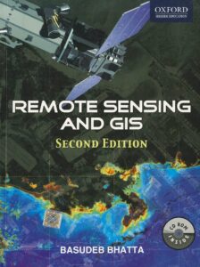
The book provides a comprehensive overview of remote sensing and Geographic Information Systems (GIS). It covers the history and basic concepts of these technologies, including optical, thermal, and microwave remote sensing, global navigation satellite systems like GPS, digital photogrammetry, visual image analysis, and digital image processing.
The book also discusses spatial and attribute data models, geospatial analysis, and the planning, implementation, and management of GIS. In addition, it explores the latest trends in remote sensing and GIS and their diverse applications. The appendices contain the prerequisites needed to understand remote sensing and GIS technology.
#2. Introduction To Remote Sensing by James B. Campbell
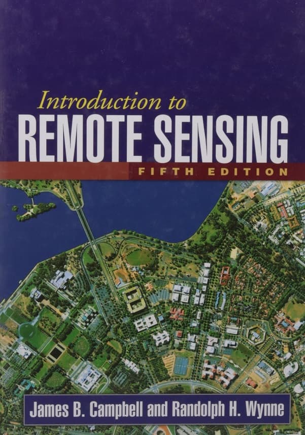
This book is a valuable resource for both novice and experienced users of remotely sensed data. It provides a clear overview of the subject and sets the stage for further study. The book’s coverage of the transition from analog to digital is thorough and includes essential fundamentals.
In addition, new topics such as object-based image analysis are covered. The book is ideal for introductory remote sensing courses and is a helpful addition to the library of anyone trying to stay up-to-date with the latest developments in remote sensing technology.
#3. Remote Sensing Digital Image Analysis: An Introduction by John A Richards
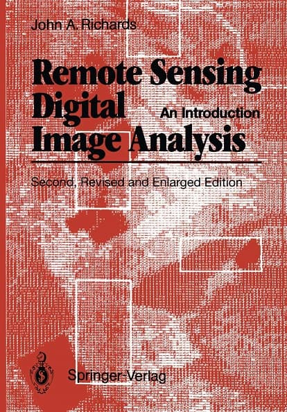
The book, Remote Sensing Digital Image Analysis, offers a comprehensive guide to the processing and interpretation of remotely sensed image data. The latest edition incorporates recent advancements in algorithms for analyzing remote sensing imagery while still retaining fundamental principles.
The book presents both traditional and modern techniques, emphasizing the operational aspect of remote sensing. It is a valuable resource for anyone interested in gaining a thorough understanding of remote sensing digital image analysis.
#4. Physical Fundamentals of Remote Sensing by E. Schanda
It is an excellent book that provides a comprehensive introduction to the theoretical foundations of remote sensing. The book covers a wide range of topics, from the basics of electromagnetic radiation to the mathematical models used to interpret remote sensing data.
One of the strengths of this book is the way it breaks down complex concepts into easily understandable explanations. The author takes great care to ensure that readers have a firm grasp of the fundamentals before moving on to more advanced topics. The book is also well-organized, with each chapter building on the previous one, allowing readers to follow the logical progression of the material.
#5. Introductory Digital Image Processing by John R. Jensen
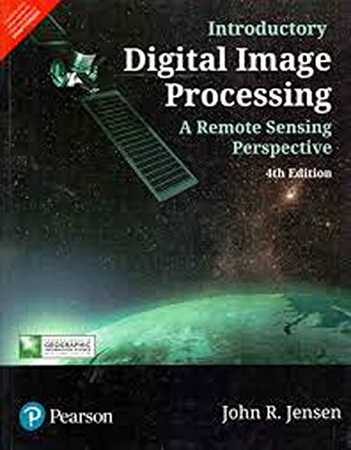
This book provides an in-depth explanation of the computer processes used in remote sensing, from basic functions like sharpening and blurring to complex algorithms like maximum likelihood classifications and mean difference metrics. The book covers essential remote sensing concepts like hyperspectral bands and satellite sensor types, as well as mosaicking, matrix calculations, accuracy, and computer-related topics.
The first chapter briefly touches on relevant geography, cartography, projections, GPS, GIS, climate, and terminology. The book is a valuable resource for anyone interested in gaining a thorough understanding of remote sensing and the computer processes used in this field.
#6. Polarimetric Radar Imaging: From Basics to Applications by Jong-Sen Lee
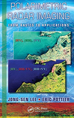
This book is a comprehensive guide to the theory and applications of polarimetric radar remote sensing. It covers a range of topics, including polarimetric scattering mechanisms, speckle statistics and filtering, polarimetric information analysis, and extraction techniques. The authors explain the importance of wave polarization theory and the speckle phenomenon in microwave imaging and inverse scattering.
They also provide intelligent information extraction algorithms for remote sensing applications, as well as more advanced polarimetric analysis techniques for target decompositions, scattering modeling, terrain and forest classification, and PolSAR interferometry. The book is a valuable resource for anyone interested in the theory and practical applications of polarimetric radar remote sensing.
#7. Remote Sensing Image Analysis: Including the Spatial Domain by Steven M. de Jong
This book offers a variety of innovative and advanced image processing methods for incorporating spatial information captured by neighboring pixels in remotely sensed images. The methods presented in the book include various types of variogram analysis, texture quantification techniques, smart kernel operators, pattern recognition methods, image segmentation techniques, sub-pixel methods, wavelets, and advanced spectral mixture analysis techniques.
In addition to explaining the methods in detail, the book also covers a wide range of applications, such as land cover and land use mapping, environmental applications, urban mapping, and geological applications for detecting hydrocarbon seeps. The book is a valuable resource for anyone seeking to improve their understanding of image processing methods in remote sensing and their applications in different fields.
#8. GIS Approaches for Remote Sensing and Photogrammetry by Matt Weilberg
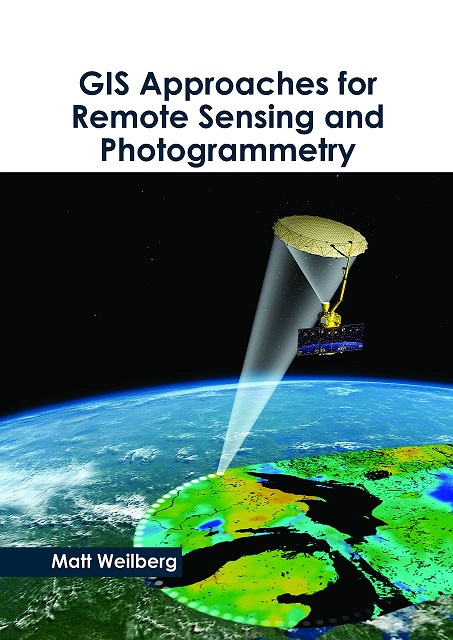
Geographic Information Systems (GIS) utilize satellite technology to collect and analyze data for accurate representations of the Earth and its geographic features. It offers a convenient way to organize, classify, and monitor various natural and human processes occurring worldwide. GIS relies heavily on maps of varying scales to interpret new information.
With diverse industrial applications, this book on GIS approaches for remote sensing and photogrammetry aims to be a helpful resource guide for both students and experts. It intends to assist new researchers in expanding their knowledge in this field and contribute to the growth of the discipline.
#9. Microwave Radar and Radiometric Remote Sensing by Fawwaz T. Ulaby
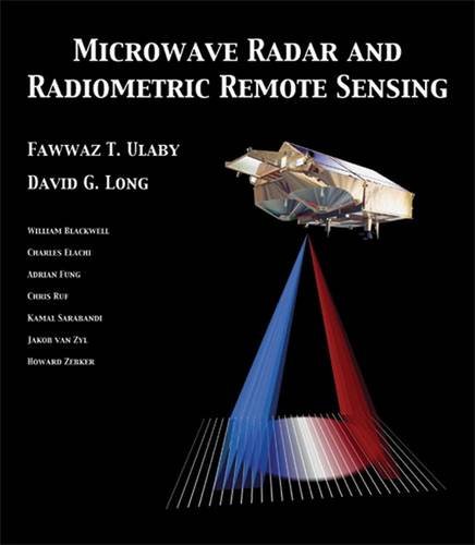
The book covers the basic principles of electromagnetic theory, antenna design, and signal processing, providing readers with a solid understanding of the technical aspects of radar and radiometric remote sensing. It also explores the use of remote sensing for a variety of applications, such as environmental monitoring, geological exploration, and military surveillance.
The book is written in a clear and accessible style and is suitable for both students and professionals in the field of remote sensing. Overall, “Microwave Radar and Radiometric Remote Sensing” is an excellent resource for anyone interested in learning about the principles and applications of remote sensing using microwave technology.
#10. Hyperspectral Remote Sensing by Michael Theodore Eismann
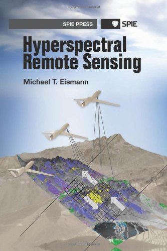
Hyperspectral remote sensing is a rapidly developing field with numerous applications, and this book provides a comprehensive treatment of its multidisciplinary nature. It covers the fundamental principles of material spectroscopy, radiative transfer, imaging spectrometry, and hyperspectral data processing. Unlike other resources that focus on specific aspects of hyperspectral remote sensing, this book provides a holistic approach that equips readers with the knowledge needed to understand the extensive literature in this field and apply it to real-world problems.
The content is centered around the physical principles of hyperspectral remote sensing, rather than its applications, and readers will gain an understanding of material spectral properties, hyperspectral system design, hyperspectral imagery analysis, and the application of this technology to specific problems. By the end of this book, readers will have a solid grasp of the fundamentals of hyperspectral remote sensing and be able to apply their knowledge to a variety of fields.
#11. Urban Remote Sensing by Qihao Weng
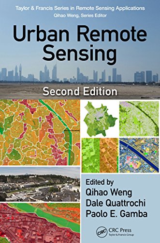
This book showcases the latest developments in spaceborne and airborne sensors, image processing techniques, and the expanding applications of urban remote sensing to tackle the challenges faced by society and the economy. The authors cover various sections, including upscaling urban feature extraction to a global scale, new methods for mapping and detecting urban landscape features and structures, and mapping and monitoring urbanization in developing countries.
The book also includes insightful case studies such as the HEAT project in Calgary, Canada, which focuses on heat energy assessment technologies, and the use of very high resolution satellite monitoring in Salzburg, Austria, to address urban green planning issues. This book is a valuable resource for researchers and professionals in the field of urban remote sensing, as well as for those interested in the wider applications of remote sensing technology to solve pressing societal and economic challenges.
How To Choose the Best Book on Remote Sensing
Choosing the best book on remote sensing depends on your specific needs and interests. Consider the following factors when choosing a book:
- Level of expertise: Choose a book that matches your level of expertise. If you are new to remote sensing, choose a book that provides an introduction to the subject.
- Application: Choose a book that covers the applications of remote sensing that are relevant to your field of interest.
- Depth of coverage: Choose a book that provides the level of detail that you need. If you need a comprehensive understanding of remote sensing, choose a book that covers the subject in depth.
- Authorship: Choose a book written by experts in the field of remote sensing.
Conclusion
Remote sensing is an exciting field that has found applications in various industries. If you are interested in remote sensing, then you need to start by reading some of the best books on the subject.
The 11 best remote sensing books for beginners that we have listed in this article are excellent resources that will help you get started in this field. These books cover various topics, from the basics of remote sensing to advanced techniques like SAR polarimetry.
We hope that this article has helped you find the perfect book to start your journey in remote sensing.
