Aerial photography has become an essential tool for various industries, offering a unique perspective of the world below. With advancements in technology, aerial photography has become more accessible, allowing professionals and enthusiasts to capture stunning images from great heights.
In this article, we will explore the five most commonly used types of aerial photography in remote sensing: Oblique, Vertical, Combined, Orthophotomap, and Leaf-Off/Leaf-On photography.
What is Aerial Photography In Geography?
Aerial photography in geography refers to the process of taking photographs of the earth’s surface from an elevated position, typically from an aircraft or a drone. These photographs provide a bird’s-eye view of the land, allowing geographers and other professionals to study and analyze the physical and cultural features of an area.
Aerial photography is an important tool for mapping, surveying, monitoring land use and land cover changes, and for studying coastal areas, forests, and urban areas, among other things. The photographs can also be used to create digital terrain models, which are used to study topographical features and to help plan and design infrastructure projects.
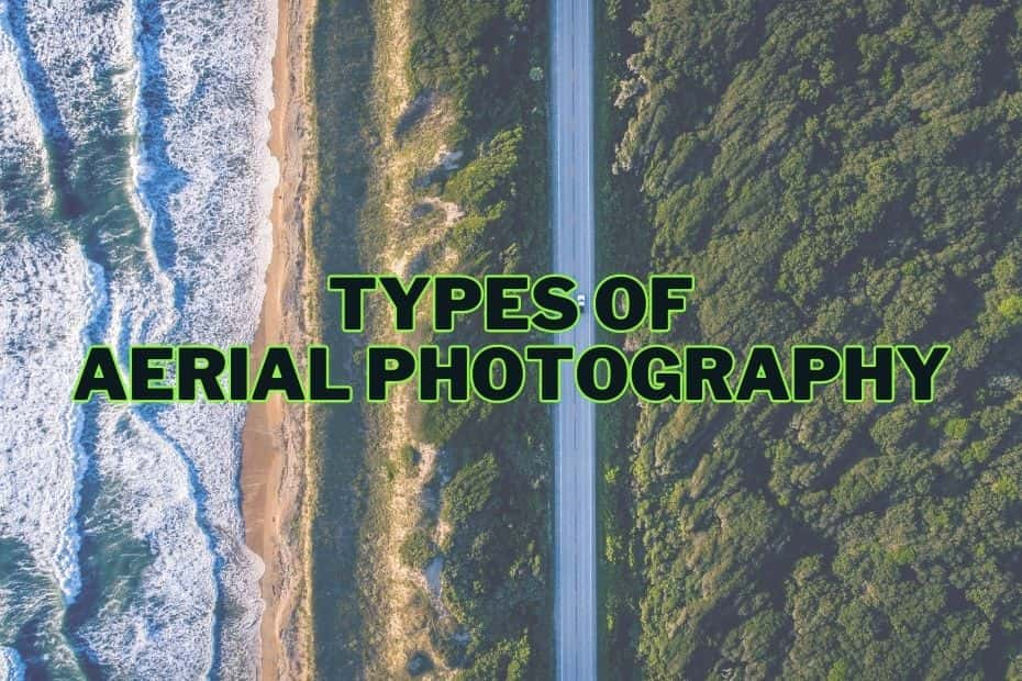
Types of Aerial Photography
Aerial photography can be classified into several types based on the camera’s angle, the season during which the images are captured, and the final image product. Let’s dive into each type to better understand their characteristics and uses:
1. Oblique Aerial Photography
Oblique aerial photography involves taking images at an angle, rather than directly overhead. This type of photography can be further divided into two categories:
- High-oblique: The camera is angled between 30 and 60 degrees from the vertical, capturing a wide view of the landscape below. High-oblique photographs are useful for providing context and giving a broad overview of an area.
- Low-oblique: The camera is angled less than 30 degrees from the vertical, providing a more focused view of the subject. Low-oblique photographs are often used for architectural studies, historical documentation, and real estate marketing.
Oblique aerial photography is particularly suited for:
- Visualizing topography and terrain features.
- Assessing land use and environmental impacts.
- Providing visual context for maps and geographic information systems (GIS).
2. Vertical Aerial Photography
Vertical aerial photography is captured with the camera pointing directly down at the ground. This type of photography offers a number of advantages:
- Geometric accuracy: Vertical photographs provide accurate measurements of distances, areas, and angles.
- Ease of interpretation: The overhead perspective makes it easier to identify and analyze features on the ground.
- Consistent scale: Unlike oblique photographs, vertical photographs maintain a consistent scale throughout the image, making them ideal for mapping and surveying applications.
Some common uses for vertical aerial photography include:
- Creating maps and geospatial datasets.
- Monitoring land use changes and environmental impacts.
- Assessing agricultural productivity and crop health.
3. Combined Aerial Photography
Combined aerial photography refers to the practice of combining oblique and vertical photographs to create a more comprehensive view of a subject. This can be achieved in several ways:
- Simultaneous capture: Some aerial photography platforms, such as drones and aircraft, can be equipped with multiple cameras to capture both oblique and vertical images simultaneously.
- Post-processing techniques: Images taken separately can be combined using specialized software to create composite images or 3D models.
Combined aerial photography is useful for:
- Generating detailed 3D models and visualizations.
- Providing a comprehensive view of complex sites or landscapes.
- Enhancing the interpretation of features in vertical photographs.
4. Orthophotomap
An orthophotomap is a type of aerial photograph that has been geometrically corrected, or “orthorectified,” to remove distortion caused by camera tilt and terrain relief. This process results in a photograph that has the geometric accuracy of a map and can be used to measure distances, areas, and angles directly.
Orthophotomaps are created by:
- Capturing high-resolution vertical aerial photographs.
- Using ground control points and digital elevation models (DEMs) to correct for distortion.
- Combining multiple images to create a seamless, accurate representation of the area.
Applications of orthophotomaps include:
- Updating and enhancing base maps.
- Planning and managing infrastructure projects.
- Assessing environmental impacts and monitoring land use changes.
- Supporting emergency response and disaster management efforts.
5. Leaf-off or Leaf-on Aerial Photography
Leaf-off and leaf-on aerial photography refer to the timing of image capture in relation to the vegetation cycle. Each type offers unique benefits and is suited for specific applications:
- Leaf-off: Images are captured when trees and other vegetation have shed their leaves, typically during late fall, winter, or early spring. Leaf-off photography provides clear visibility of ground features and is ideal for:
- Identifying and mapping infrastructure, such as roads, buildings, and utility lines.
- Detecting and analyzing archaeological sites and historical land use patterns.
- Assessing forest health and timber resources.
- Leaf-on: Images are captured when trees and other vegetation are in full leaf, typically during late spring, summer, or early fall. Leaf-on photography offers valuable insights into the health and composition of vegetation and is well-suited for:
- Monitoring crop growth and assessing agricultural productivity.
- Analyzing habitat and biodiversity.
- Evaluating the effects of land management practices on vegetation and ecosystems.
READ MORE: Difference Between Aerial Photography and Remote Sensing
Conclusion
Aerial photography is a powerful tool for capturing the world from above, providing unique insights and perspectives that can inform decision-making, enhance understanding, and inspire awe. By understanding the different types of aerial photography and their specific applications, professionals and enthusiasts alike can harness the power of this captivating medium to its fullest potential.
FAQs Related To Different Types of Aerial Photography
What is the main difference between oblique and vertical aerial photography?
The main difference between oblique and vertical aerial photography lies in the angle at which the images are captured. Oblique aerial photography is taken at an angle, either low (less than 45 degrees) or high (greater than 45 degrees), while vertical aerial photography is taken directly above the subject, providing a bird’s-eye view.
Can drones be used for all types of aerial photography?
Drones can be used for many types of aerial photography, including oblique, vertical, panoramic, infrared, and videography. However, drones may not be suitable for certain specialized techniques, such as Lidar or satellite aerial photography, which require specific equipment or higher altitudes.
What are some common applications of aerial photography?
Aerial photography has a wide range of applications, including mapping, surveying, remote sensing, environmental monitoring, infrastructure planning, agriculture, real estate, marketing, filmmaking, and artistic expression.