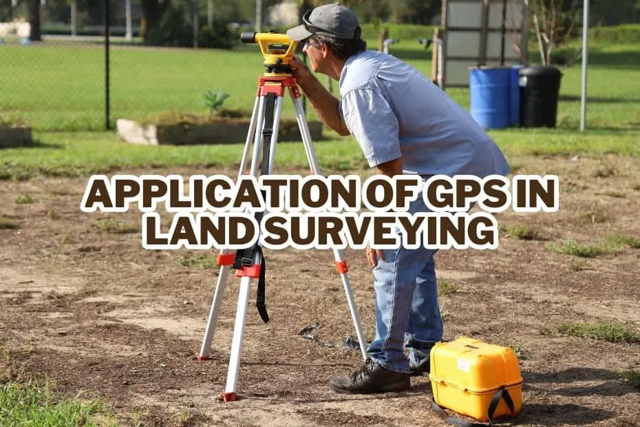
9+ Unique Application of GPS In Land Surveying
Are you frustrated with the inaccuracies in traditional land surveying methods? These errors can cause significant delays and costly mistakes.… Read More »9+ Unique Application of GPS In Land Surveying
Are you frustrated with the inaccuracies in traditional land surveying methods? These errors can cause significant delays and costly mistakes.… Read More »9+ Unique Application of GPS In Land Surveying
If you’re planning a trip to China, or you’re already in the country, one of the questions you may have… Read More »Does Google Maps Work In China?
Google Maps has revolutionized the way we navigate and explore the world. With just a few taps on your smartphone,… Read More »Unveiling The Truth: How Accurate Is Google Maps?
Have you ever wondered how it would feel to live in a world without Google Maps? Most of us take… Read More »Countries Where Google Maps Is Banned – Mapping Services Restrictions

Aviation has come a long way since the days of paper charts and slide rules. Today, pilots rely on advanced… Read More »Get High with The 11 Best Mapping Software For Aviation
Geotagging is a powerful feature that is widely used in today’s digital world. It involves adding location data, such as… Read More »Unlock the Mystery: How Does Geotagging Work?
Google Maps is one of the most popular mapping applications in the world, providing users with satellite imagery, street maps,… Read More »What Datum Does Google Maps Use? – Explained
Global Positioning System or GPS has revolutionized the way we navigate, communicate, and conduct business. Initially developed by the United… Read More »57 Applications of GPS: The Ultimate Guide for Navigation, Safety, and Scientific Research
Remote sensing software has been a game-changer in the world of geospatial data analysis. These powerful tools allow professionals to… Read More »15+ Best Remote Sensing Software
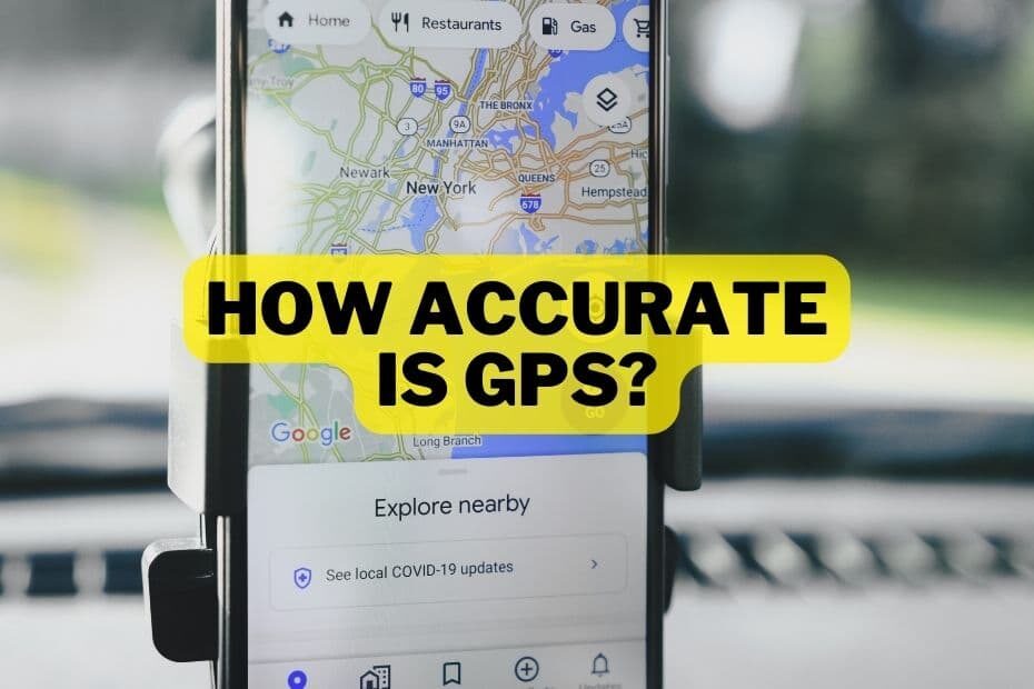
Global Positioning System (GPS) is a network of satellites that provide location and time information anywhere on the planet. GPS… Read More »How Accurate Is GPS? Exploring Factors, Standards, and Improvements