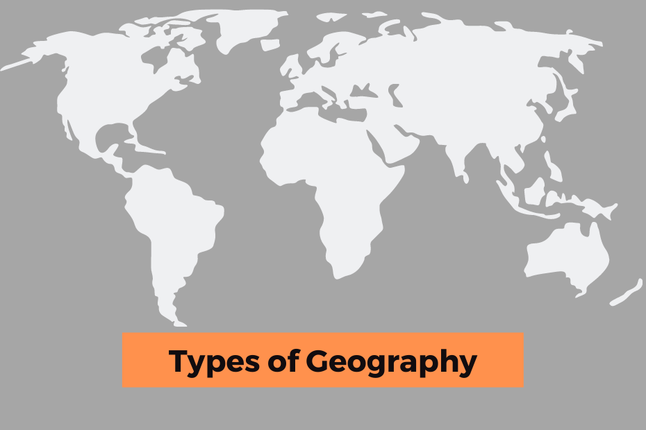
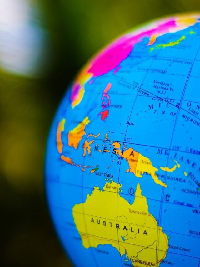
Geography is an essential part of being a world citizen. It helps us understand the various regions in the world and their different cultures. It also helps us to understand how we are part of the world system as well as our role in it.
There are three types of geography: Human, Physical and Integrated Geography. You can also call them branches of geography.
Geography can be very broad or very specific depending on what you want to learn about it.
Types Of Geography
Geography is a subject that can be difficult to understand and not everyone is good with it. Some people are good at explaining geography in a creative way, while others need clear direction and examples to help them understand the topic.
In order to make this easier for you, I have explained all about geography types in an easy to understand way.
Human Geography
The term “human geography” may sound daunting, but it is in fact a branch of geography that focuses on the way human societies are organized.
Human geography is about studying how people live in a certain geographical area or region.
Human geographers use qualitative and quantitative methods to investigate the connections between humans and their environment. They also consider issues like migration, food security, and urbanization to help us better understand what’s happening in our world today.
What are the example of Human Geography?
Human Geography can be further divided in the below categories:
- Cultural Geography
- Health Geography
- Development Geography
- Economic Geography
- Historical Geography
- Political & Geopolitics Geography
- Population or Demography Geography
- Social Geography
- Religion Geography
- Transportation Geography
- Urban Geography
- Tourism Geography
Physical Geography
Physical geography is the branch of geography that is about studying the natural resources in a region, such as rocks, rivers, mountains, atmosphere etc.
The geographer uses this type of knowledge to understand how humans can interact with their environment.
Geographers can be found in many fields including environmental science, urban planning, development studies, engineering and economics.
Geographers are often involved in issues like global warming or climate change mitigation strategies that are related to the environment. They also look at how humans have moved about on Earth using technologies such as satellite imagery and GPS systems.
Read More: What Does A Geographer Do?
What is the Example of Physical Geography?
We can subdivide Physical Geography into the below categories:
- Hydrology & hydrography
- Oceanography
- Coastal geography
- Glaciology
- Environmental management
- Biogeography (Study of animal and plant life)
- Climatology & Meteorology
- Geodesy
- Geomorphology
- Landscape ecology
- Palaeogeography
- Pedology (Study of Soil)
- Quaternary science
Integrated Geography (Environment Geography)
Integrated Geography focuses on understanding how spatial relations are important for understanding processes of change in society.
Integrated Geography is a method for analyzing social change that has been developed by geographers to understand how place shapes society. It is a spatial approach to studying social relations that looks at how places transform over time.
The study is also called “environmental science” because it examines how humans interact with their environment and how they affect it.
GIS and Remote Sensing Technology can be used to study the environmental area.
Example of Integrated Geography (Environment)?
Environment Geography includes Emergency, Environment management, sustainability, and political ecology.
Geomatics
Geomatics is the study of natural and human-made objects in three dimensions. Mainly used in Cartography and topography.
Geomatics is also called the science of putting things on Earth. It is a rapidly growing technology that enables people to gain access to spatial data.
This method includes Geographic Information System, Spatial Analysis, GPS and Remote Sensing.
Regional Geography
The concept of region is closely connected to the idea of place. Places are defined by borders, shared culture, geography, and history.
Regional geography includes sub-regions or smaller geographical units as well as larger ones such as continents or countries.
The definition of the region varies depending on the context in which it is used.
Geography’s Techniques
Geography is not a genre of literature. It is a way of looking at the world and describing it in words. Some of the technique’s used for geography are listed below:
Cartography
Geography is an interesting thought-provoking subject. It can be very complex and complicated to study it all on your own. But, with the help of technology, geography has also become easier to understand and learn.
All you need is a computer and the internet to explore every corner of the earth with maps and satellite images.
Geographic Information Systems
GIS is a system that integrates spatial data sets with a computer program in order to spatially analyze or simulate geographical phenomena.
The use of geographic information systems has increased across various interests such as geology, geography, natural resource management, ecology, and human geography.
In modern days all map-making tasks are done with the help of using GIS Software.
Remote Sensing
Remote sensing is used to get information on an object without going to that location. It is used in the fields of geography, meteorology, geology, oceanography and more.
Remote sensing is a way of gathering information about the Earth’s surface through analyzing data from space-based sensors.
Remote Sensing can be done by satellite imaging technique which involves using radars or infrared sensors to measure electromagnetic radiation reflected off the surface and estimating its properties such as reflection factor, temperature, moisture etc.
Quantitative Methods
Quantitative methods are best for making sense of large data sets about geography.
These methods allow us to analyze and study various aspects like population distribution, geographies, and natural resources, among others.
Quantitative methods have been used in many fields from social sciences to engineering and beyond.
Qualitative Methods
The qualitative method is a research method that relies on the researcher’s interpretations of data rather than generalizations from statistical inference.
Qualitative methods in geography have played a significant part when it comes to studying the geographical world such as human-environment interaction, regional change, and landscape analysis.
Types of Geography : Web Stories
Conclusion:
If geography is a science, then where does it belong in our society? Geography has evolved over time and continues to do so. It plays an important role in various aspects of life, with its focus on local events and processes. It is essential for understanding and managing the environment that we live in.
In other words, geography is about how humans live within a particular space.
Geography has many positive effects on our daily lives. It can affect how we live in general by providing resources like food and clean water to the areas where they are needed most.

