Why Does Map Distortion Occur?
Have you ever looked at a map and wondered why certain areas look bigger or smaller than they actually are?… Read More »Why Does Map Distortion Occur?
Have you ever looked at a map and wondered why certain areas look bigger or smaller than they actually are?… Read More »Why Does Map Distortion Occur?
When it comes to understanding the geography of the world, two primary tools come to mind: maps and globes. Both… Read More »Difference Between Map and Globe: A Comprehensive Guide
Location Map Vs Vicinity Map – When it comes to understanding location data, it’s important to know the difference between… Read More »Location Map Vs Vicinity Map: Understanding the Differences
As the world becomes increasingly digital, the use of maps has become an essential tool in various aspects of daily… Read More »What is a Vicinity Map and How Can It Be Used?
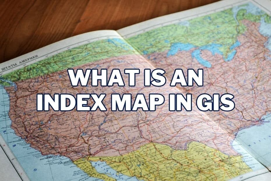
An index map is a critical component of Geographic Information Systems (GIS) that helps users navigate and visualize data effectively.… Read More »What Is an Index Map In GIS?

Geographic Information Systems (GIS) have revolutionized the way we interact with spatial data, enabling us to analyze and visualize complex… Read More »What Is A Basemap In GIS?
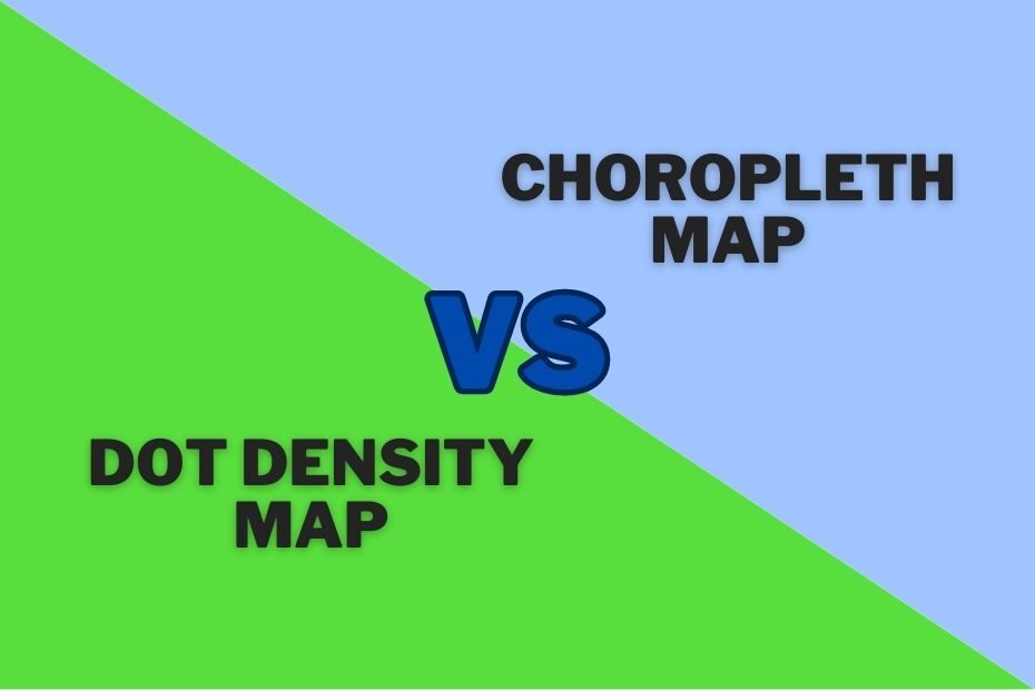
When it comes to visualizing geographic data, two common methods are dot density maps and choropleth maps. But which one… Read More »Difference Between Dot Map and Choropleth Map: Which One Should You Use?
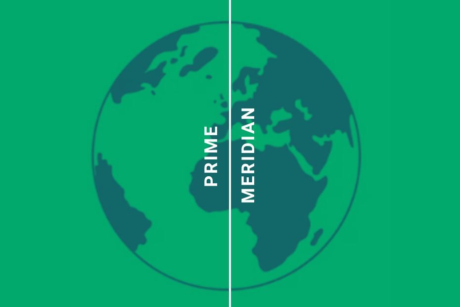
The Prime Meridian is an imaginary line that divides the Earth into Eastern and Western Hemispheres. It is the longitude… Read More »Prime Meridian: Definition, History, and Significance
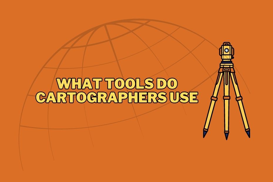
Cartography is the art and science of mapmaking, enabling us to visualize and understand the world around us. Behind every… Read More »What Tools Do Cartographers Use: From Traditional to Modern
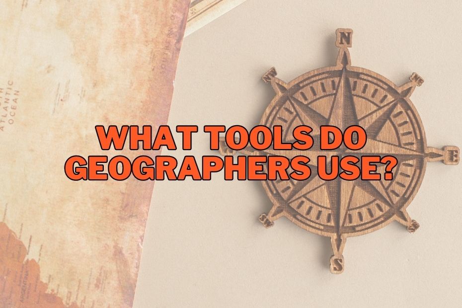
Geography is a fascinating field that involves the study of the Earth’s physical features, climate patterns, and human activities. Geographers… Read More »What Tools Do Geographers Use: Exploring Their Role In Geography