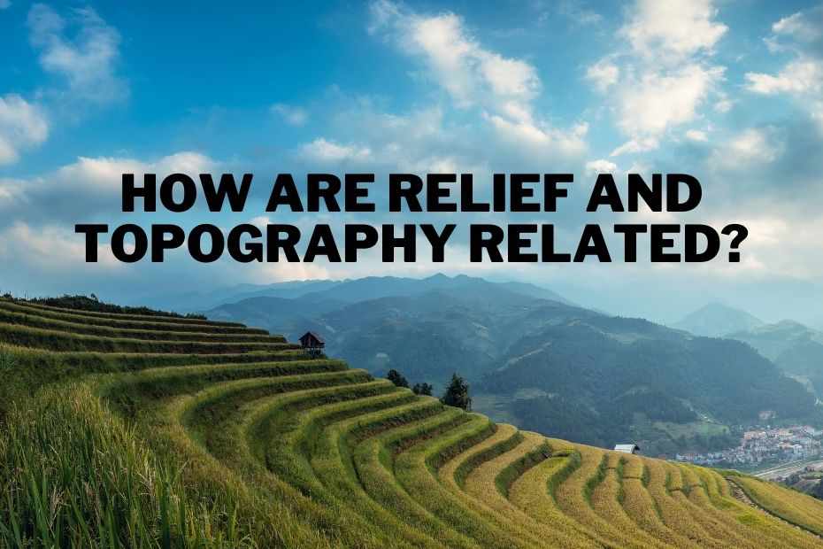
How are relief and topography related? At first glance, you might not think there’s any connection between the two. After all, topography refers to the physical features of a landscape (like mountains, valleys, etc.), while relief refers to the topographical features of the Earth’s surface (that is, features like elevation). But if you think about it more closely, you’ll realize that they are actually inextricably linked- after all, you can’t talk about topography without mentioning elevation!
The relief and topography of a geographical region are intertwined and depend on each other for how they either rise or descend. However, the relief and topography of a region may change over time.
For example, as rivers and water flow downhill, it causes an elevation gradient that causes both the relief and the topography to change. The shape of the surface areas, including hills and valleys, also affects the topographic features.
How Is Topography Determined?
The topography of a place can be determined by natural processes like erosion or deposition, but it can also be altered by humans. For example, the construction of dams alters the flow of water in a river and changes the topography downstream.
Topography is also described as the shape of the surface, or landforms. Topography is measured in meters above sea level with floods and floods below it. Knowing how to measure topography can help scientists with predicting weather, climate change, natural disasters, and more. At the same time, knowing how to measure topography is useful for scientists, engineers, architects, and many other professionals.
What Is Meant By Relief In Geography?
Relief in geography describes the height of an area on the Earth’s surface. This term is often used when describing elevation, so the height can be relative to sea level.
The relief in geography has been an important aspect of geographical studies for centuries, and it continues to be an important aspect today.
How To Describe Relief On A Map?
The relief of an area, determined by the height of the land, is often left blank on most maps. This intangible variable can drastically affect the lives of people in that area. For example, most people would want to know if there are any steep cliffs or high elevations before they made decisions about where to build their house.
Some maps also display relief with colors, where higher elevations are shown in darker shades and lower elevations are shown in lighter shades.
Are Topography And Relief The Same?
Topography and relief are not the same. Topography is what your land looks like based on how high or steep it is, while relief mostly refers to how high mountains are.
Topography is often used to measure how high or low a place is. Relief also refers to the height of the ground, but instead of measuring it by elevation, it is measured by contours on a map.
For example, if you were to stand on top of a hill and look around for different points, you would be able to see that the places that are lower are closer to you, you can see them more easily.
What Is The Difference Between Relief And Topography?
Relief and topography are two important geologic features that can be found on Earth. Relief is the elevation of the Earth’s surface, while topography is the arrangement of landforms in a region.
Although they are related, they are not the same thing. Relief is often used to describe how high or low a location is in relation to sea level, while topography refers to how landforms are arranged in a region.
The difference between relief and topography can be seen when looking at a map. A map will show relief with contour lines, which show how high or low an area is relative to sea level. Contour lines will also show where different types of terrain meet, such as mountains meeting plains or hills meeting valleys.
Relief is the study of the surface features of a landform, such as mountains and valleys. Topography is a branch of geology that deals with the measurement and representation of landforms on maps.
Conclusion: How Are Relief And Topography Related
In conclusion, relief is important because it can affect the topography. The more height on an elevation, the more sloped the ground will be. The more elevation there is, the more water will flow down to create a river or creek bed. The article provides knowledge about how relief and topography are related.
Read More:
Types of Topography: A Guide To Different Types of Landforms
Why Is Topography Important? The Importance of Shaping the Landscape
How Do You Read A Topographic Map? The Tools, Features, And Symbols
