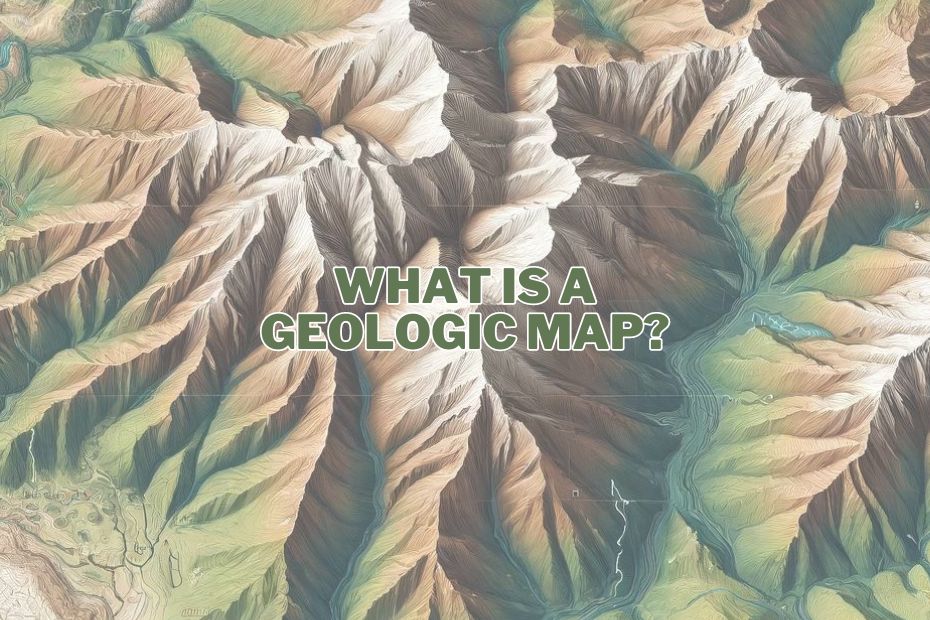
When we consider maps, most think of road maps or digital GPS navigation. However, another type of map plays a critical role in scientific, engineering, and environmental management fields: the geologic map. What is a geologic map, you ask? Let’s delve deep into this fascinating topic.
A geologic map is a specialized map that represents the rock formations on the surface of the Earth. It depicts where different rock types are exposed and provides data on their age and composition, essential for studies in geology and geography.
Understanding Geologic Maps
1. The Basics of Geologic Maps
A geologic map is not your ordinary map. It depicts the distribution, nature, and age relationships of rock formations and sediments at the Earth’s surface. Geologists create these maps to provide valuable information about the past and present processes that have shaped the Earth.
2. Components of a Geologic Map
- Rock Units: Each color or pattern on the map represents a different type of rock or sediment.
- Legend: This key decodes what each color and symbol on the map means.
- Scale: It shows how map measurements relate to actual ground distances.
- Orientation: Directional arrows indicate map north, crucial for field navigation.
3. Symbols and Notations
Geologic maps also include symbols that represent geological features such as faults, folds, dip and strike of rock layers, and orientation of the geological structures.
Types of Geological Maps
There are several types of geological maps, each serving different purposes:
- Bedrock Maps: These maps display the location and distribution of rock formations at or near the Earth’s surface. They are crucial for understanding the age, composition, and structure of rocks, as well as assessing their potential as natural resources.
- Surficial Maps: Surficial maps illustrate the distribution of surface materials like soils, sediments, and glacial deposits. They are used to explore climate change history, locate natural resources such as water and minerals, and assess risks like soil erosion and landslides.
- Structural Maps: These maps detail the orientation and location of geological structures such as faults and folds. They are valuable for studying the history of tectonic activity and assessing earthquake risks and other natural hazards.
- Mineral Maps: Mineral maps pinpoint the distribution of minerals and mineral resources, aiding in geological studies and potential economic development through resource extraction.
- Geologic Hazard Maps: These maps highlight areas at risk for natural hazards such as earthquakes, landslides, and volcanic eruptions. They are essential for risk assessment and developing mitigation strategies.
Each type of geological map provides specific information that helps in understanding the geology of an area and in planning and safety measures.
Why Geologic Maps are Important
1. Resource Exploration
These maps are essential for natural resource exploration—helping locate minerals, oil, and natural gas deposits.
2. Environmental Management
Geologic maps guide land use planning and environmental protection by identifying natural hazards such as flood plains and earthquake faults.
3. Education and Research
These maps serve as fundamental tools in earth sciences education and research, providing insights into geological history and processes.
How Geologic Maps are Made
1. Field Work
Geologists conduct extensive field studies, collecting samples and making observations about rock types and structures.
2. Laboratory Analysis
Samples are analyzed in laboratories for mineral content, age dating, and other properties.
3. Data Integration
Data from fieldwork and laboratory analyses are integrated with aerial photography and satellite imagery to create detailed and accurate maps.
Challenges in Creating Geologic Maps
1. Remote and Inaccessible Areas
Many areas are difficult to access, making field studies challenging.
2. Comprehensive Detail
Capturing all geological details in a single map requires significant expertise and time.
3. Continual Updates
Earth’s landscape is dynamic, so maps must be continually updated to reflect new findings and changes due to natural processes and human activities.
The Future of Geologic Mapping
Advancements in technology are enhancing the accuracy and detail of geologic maps. Tools like drones, satellite data, and GIS software are revolutionizing how geologists work.
Conclusion
Geologic maps are more than just educational tools; they are essential for economic development, environmental protection, and scientific research. They help us understand our planet’s complex geological framework and guide responsible natural resource management. As we continue to refine our mapping techniques, the future of geologic mapping looks robust and promising.
FAQs:
What is the main purpose of a geologic map?
To depict the distribution and characteristics of rock formations and understand geological processes.
How do geologists gather data for these maps?
Through fieldwork, sample collection, and observations, supplemented by laboratory analyses and remote sensing data.
Can a geologic map help predict earthquakes?
While they cannot predict when an earthquake will occur, they can indicate fault lines and historically active seismic zones.
What skills are necessary to create a geologic map?
Strong background in geology, skills in field observation, data analysis, and proficiency with mapping software.
How often are geologic maps updated?
Updates depend on new research findings, natural events altering geological formations, and advancements in technology.
