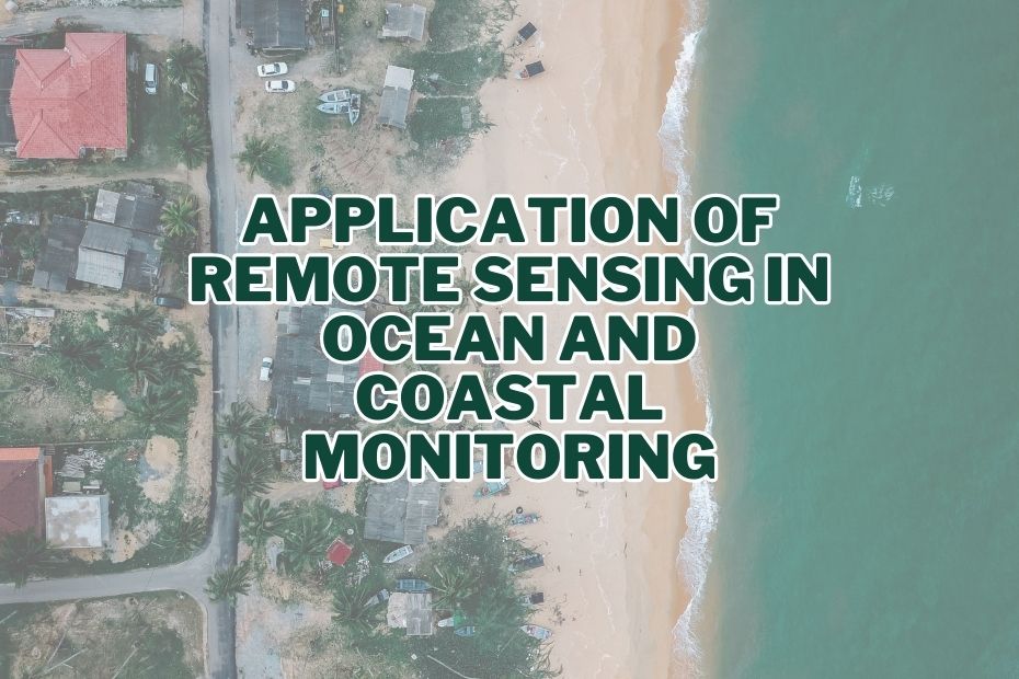
In the realm of ocean and coastal monitoring, remote sensing has emerged as a game-changing technology. Through the utilization of satellite imagery and other advanced techniques, remote sensing enables us to comprehensively observe and understand the dynamic marine environment. From tracking ocean currents to detecting harmful algal blooms, this article delves into the multifaceted application of remote sensing in ocean and coastal monitoring.
Remote sensing aids in tracking sea surface temperature, marine life distribution, pollution levels, and coastline changes. This technology enhances our understanding of marine ecosystems and supports effective environmental management.
Application of Remote Sensing In Ocean and Coastal Monitoring
Remote sensing, the collection of data from a distance, has become an indispensable tool in ocean and coastal monitoring. It enables us to gather information over vast areas, providing valuable insights into the dynamic and interconnected nature of marine ecosystems.
1. Monitoring Ocean Temperature and Climate Change
Remote sensing plays a pivotal role in monitoring ocean temperature and assessing climate change impacts. By utilizing infrared sensors, satellites can measure sea surface temperatures with remarkable accuracy. This data aids in tracking the movement of warm and cold ocean currents, offering valuable insights into climate patterns and phenomena like El Niño and La Niña.
2. Detecting Sea Surface Height and Ocean Circulation
Satellites equipped with altimeters allow researchers to measure variations in sea surface height. This information is crucial for understanding ocean circulation patterns, which influence climate, weather, and marine ecosystems. Accurate measurements of sea surface height aid in predicting storm surges and tsunamis, enhancing coastal safety.
3. Tracking Ocean Currents and Drifts
Remote sensing technology provides a comprehensive view of ocean currents and drifts. By analyzing satellite-derived data on water movement, scientists can anticipate changes in maritime transport routes, study pollutant dispersion, and even enhance navigation systems.
4. Identification and Monitoring of Harmful Algal Blooms (HABs)
Harmful algal blooms pose significant threats to marine ecosystems and human health. Remote sensing allows for early detection and monitoring of these blooms through the identification of chlorophyll concentration and water color changes. This timely information aids in implementing effective mitigation strategies.
5. Mapping Coastal Erosion and Sediment Transport
Coastal erosion is a growing concern due to climate change. Remote sensing assists in mapping erosion-prone areas and monitoring sediment transport. This information guides coastal management efforts and helps safeguard infrastructure and habitats.
6. Monitoring Coral Reefs and Marine Biodiversity
Coral reefs, vital marine ecosystems, face numerous stressors. Remote sensing provides a non-intrusive method to monitor their health. By analyzing water clarity and temperature, researchers can assess coral bleaching events and track changes in marine biodiversity.
7. Detection of Oil Spills and Pollutant Dispersal
Timely detection of oil spills is crucial for minimizing environmental damage. Remote sensing aids in identifying oil slicks and tracking their movement. Additionally, it helps monitor the dispersion of pollutants, enabling effective response measures.
8. Mapping and Assessing Mangrove Forests
Mapping and assessing mangrove forests using remote sensing technology provide essential data for understanding the status of these ecosystems. This knowledge is crucial for making informed decisions about preserving and restoring mangrove forests, which contribute significantly to coastal protection, biodiversity, and the overall health of our planet’s ecosystems.
9. Monitoring Marine Protected Areas
Remote sensing technology serves as a valuable tool for monitoring marine protected areas. It helps in evaluating conservation efforts, safeguarding marine biodiversity, detecting illegal activities, and making informed decisions to ensure the long-term health of our oceans and marine ecosystems.
10. Bathymetric Mapping
Understanding ocean depths is essential for various maritime activities. Remote sensing facilitates bathymetric mapping by measuring water depth and seafloor topography. This data aids in safe navigation and resource exploration.
11. Studying Ocean Acidification
Remote sensing technology provides a powerful tool for studying ocean acidification by monitoring pH levels, carbonate concentrations, and other relevant parameters. This information is crucial for advancing our understanding of the impacts of acidification on marine ecosystems, guiding conservation efforts, and advocating for measures to mitigate this global challenge.
12. Fishing Zone Monitoring and Fisheries Management
Remote sensing assists in identifying productive fishing zones by detecting plankton blooms and sea surface temperature variations. It also aids in enforcing fisheries regulations and preventing overfishing.
13. Search and Rescue Operations
Remote sensing plays a crucial role in enhancing search and rescue (SAR) operations during maritime emergencies. Whether it’s locating distressed vessels, stranded individuals, or even aircraft in distress over bodies of water, remote sensing technology significantly improves the efficiency and effectiveness of these critical operations.
14. Maritime Traffic Management and Ship Emissions
Monitoring vessel movements and emissions is vital for maritime safety and environmental protection. Remote sensing contributes to efficient traffic management and the reduction of ship-generated pollution.
Conclusion:
In conclusion, the applications of remote sensing in ocean and coastal monitoring are both diverse and impactful. From climate change assessment to safeguarding marine life, this technology empowers researchers and stakeholders to make informed decisions and take proactive measures. As remote sensing techniques continue to evolve, the potential for deeper insights into the marine world grows, promising a more sustainable and resilient future for our oceans and coastlines.
FAQs: Application of Remote Sensing In Ocean and Coastal Monitoring
How does remote sensing help in tracking harmful algal blooms?
Remote sensing detects harmful algal blooms by analyzing changes in water color and chlorophyll concentration, enabling early identification and mitigation.
Can remote sensing technology predict tsunamis and storm surges?
Yes, satellites equipped with altimeters measure sea surface height variations, aiding in the prediction of tsunamis and storm surges.
How does remote sensing contribute to coral reef conservation?
Remote sensing monitors water clarity and temperature around coral reefs, allowing scientists to assess coral bleaching and changes in marine biodiversity.
How does remote sensing benefit ocean monitoring?
It offers real-time data, extensive coverage, and the ability to monitor hard-to-reach areas, enhancing our understanding and management of marine environments.
Can remote sensing detect deep-sea ecosystems?
While it’s excellent for surface studies, bathymetric methods within remote sensing can provide insights into deeper ocean structures and habitats.
