The mining industry has long been a cornerstone of global resource extraction and economic growth. As technological advancements continue to shape various sectors, remote sensing has emerged as a game-changer in modern mining operations. In this article, we delve into the application of remote sensing in mining processes, from identifying potential mining sites to post-mining site assessment.
Remote sensing in mining involves using satellite or aerial imagery to monitor and manage mineral exploration and production. Key applications include identifying mineral deposits, assessing environmental impact, monitoring infrastructure health, and detecting illegal activities. This technology improves efficiency and sustainability in the mining sector.
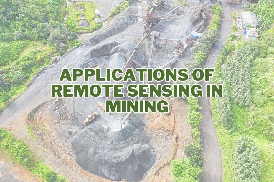
Application of Remote Sensing In Mining
The mining industry has rapidly evolved over the years, largely due to advancements in technology. Among the most groundbreaking innovations, remote sensing stands out. By employing remote sensing techniques, the mining sector can make decisions based on comprehensive and real-time data. We will explore the multifaceted application of remote sensing in mining and why it’s transforming the industry.
1. Identifying Potential Mining Sites
One of the fundamental challenges in mining is selecting the right site for resource extraction. Remote sensing technologies provide a bird’s-eye view, enabling geologists and engineers to survey vast landscapes efficiently. Satellite and aerial imagery offer high-resolution views that aid in identifying potential sites rich in minerals. This data-driven approach minimizes the need for extensive ground exploration and reduces associated costs.
2. Geological Mapping
Accurate geological mapping is a cornerstone of successful mining operations. Remote sensing techniques, such as hyperspectral imaging, help in identifying mineral composition and geological structures. By analyzing the reflected light spectra, experts can pinpoint valuable deposits. This precise information streamlines decision-making processes during exploration and planning phases.
3. Targeted Exploration
Conventional exploration methods can be time-consuming and financially draining. Remote sensing, however, empowers miners to target specific areas with high mineral potential. By integrating data from various sources, including satellite imagery and topographic maps, mining companies can focus their efforts on areas most likely to yield valuable resources, saving both time and resources.
4. Mineral and Resource Characterization
Remote sensing aids in understanding the characteristics of mineral deposits before excavation. LiDAR (Light Detection and Ranging) technology, for instance, enables detailed three-dimensional mapping of mining sites. This data assists in estimating the quantity and quality of resources, facilitating better resource management and planning.
5. Site Safety and Risk Management
Safety is paramount in mining operations. Remote sensing technology provides real-time monitoring of hazardous conditions, such as unstable slopes, subsidence, and ground movements. By constantly assessing risks, mining companies can implement proactive measures to ensure the safety of their workforce and equipment.
6. Monitoring Land Reclamation
Environmental sustainability is a growing concern in mining. Remote sensing plays a crucial role in monitoring land reclamation efforts. It helps track the progress of reforestation, soil stabilization, and ecosystem restoration, ensuring that mined areas are rehabilitated effectively.
7. Water Resource Management
Mining operations often impact local water resources. Remote sensing aids in monitoring water quality and availability. By assessing changes in water bodies and identifying pollution sources, companies can implement measures to minimize negative environmental impacts.
8. Infrastructure Planning and Monitoring
Remote sensing assists in planning and monitoring mining infrastructure, such as roads, processing plants, and waste storage facilities. Accurate topographic data and aerial imagery guide engineers in designing efficient and safe infrastructure layouts.
9. Real-time Production Monitoring
Real-time monitoring of mining operations is crucial for optimizing production. Remote sensing technologies offer up-to-date information on equipment performance, material movement, and resource extraction rates. This data-driven approach enables timely decision-making to enhance productivity.
10. Emergency Response and Crisis Management
Mining operations can face unforeseen challenges, such as natural disasters or accidents. Remote sensing provides quick and accurate data for emergency response and crisis management. Real-time information aids in assessing the impact of incidents and formulating effective response strategies.
11. Compliance with Regulations
Regulatory compliance is essential in mining. Remote sensing assists in monitoring mining activities to ensure they align with environmental and safety regulations. Satellite imagery and data analysis help authorities track mining operations and enforce compliance.
12. Post-mining Site Assessment
Once mining operations conclude, remote sensing continues to play a role. Monitoring the post-mining landscape helps assess the effectiveness of rehabilitation efforts. This data-driven evaluation guides future reclamation projects and contributes to sustainable mining practices.
Conclusion:
In conclusion, the integration of remote sensing technology in mining operations has revolutionized the industry. From site selection to post-mining assessment, these advanced techniques enhance efficiency, safety, and environmental responsibility. As the mining sector continues to evolve, remote sensing will remain a cornerstone of its transformation, enabling miners to extract resources responsibly while minimizing environmental impact.
FAQs: Application of Remote Sensing In Mining
How does remote sensing help in identifying potential mining sites?
Remote sensing provides high-resolution imagery that assists geologists and engineers in identifying areas with mineral potential, minimizing the need for extensive ground exploration.
What role does remote sensing play in site safety?
Remote sensing technology enables real-time monitoring of hazardous conditions, allowing mining companies to implement proactive safety measures and protect their workforce.
Can remote sensing technology assist in post-mining rehabilitation?
Yes, remote sensing helps monitor land reclamation efforts, ensuring effective rehabilitation of mined areas through activities like reforestation and ecosystem restoration.
What are the benefits of using remote sensing in real-time production monitoring?
Remote sensing provides up-to-date information on equipment performance and resource extraction rates, facilitating timely decision-making to optimize production processes.
